Chapter 4
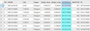
Chapter 4 taught me how to organize further and modify attribute data using a map. I can remove unnecessary fields and calculate new values, which can lead to joining tables and make data easier to analyze. This skill is important for future work with GIS because I can zoom in on data in large map work.
Chapter 5
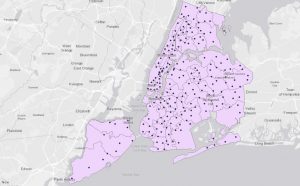
Chapter 5 introduces different types of spatial data and how to convert them into different formats. Some of the files I worked with include shapefiles, XY coordinates and KML files, which allow for different sources to be combined and displayed accurately on a map.
Chapter 6
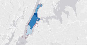
The lessons in Chapter 6 taught me how to combine, add, and analyze various geographic datasets. I learned to use new tools such as Merge, Dissolve, and Intersect. These tools will be beneficial in the future when I want to streamline the amount of data I am working with
Data Inventory
1. Annexation: Published monthly and consists of all of the annexations and boundaries from 1853 to now.
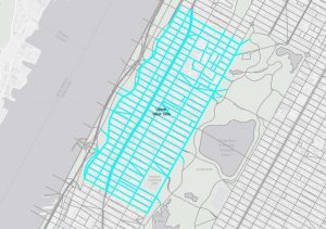
2. Street Centerline – A layer in the GIS map that shows the center of the roads in Delaware County.
3. Recorded Document – Points of data representing documents in Delaware County not included in subdivision plats that are active. Data is facilitated in a process of locating miscellaneous documents.
4. Survey – A shapefile including point coverage representing surveys of land in Delaware County.
5. GPS – Identification of points established between 1991 and 1997 and is published monthly.
6. Subdivision – Data consists of condos and subdivisions recorded in Delaware County Recorder’s Office. Data is updated daily and published monthly.
7. School District – Data holds all of the School Districts within Delaware County.
8. Tax District – This data set consists of all tax districts within Delaware County and is defined by Delaware County Auditor’s Real Estate Office.
9. Parcel – This dataset consists of polygons that represent all cadastral parcel lines within Delaware County, Ohio. The cadastral geometries are maintained by the Delaware County Auditor’s GIS Office.
10. Township – The dataset includes 19 different townships making up Delaware County and is updated on an as-needed basis.