J Bailey
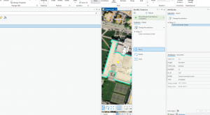
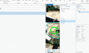
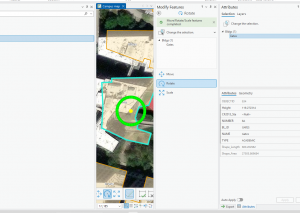
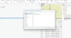
Ch 7 Instead of just using premade maps, you can use a digital tracer to create new map shapes like property lines, parks, or paths by clicking points on your screen over a background image. Using the editing tools in ArcGIS Pro that allow you to reshape, split apart, or glue together these digital shapes. This chapter showed me how to import and spatially adjust outdated or mismatched drawing files I liked building background spreadsheets (attribute tables) attaching descriptive names, categories, and measured details.
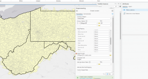
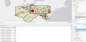
Ch 8 I learned how to use Geocoding which is basically interperting a map. Instead of manually plotting coordinates, you learn how to take a simple list or spreadsheet of text data—such as street addresses or ZIP codes and automatically turn them into geographic features. It wa interesting setting up a locator tool, which acts like a digital directory that ArcGIS Pro references to match your text list to realworld coordinates. I practiced mapping specific datasets, like survey responses, using both broader ZIP code boundaries and exact street alignments. I learned how to turn administrative tables into spatial maps.
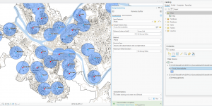
Ch9 Spatial Anaylasis is looking at patterns and realtionships across a map. , I used advanced computer tools to answer difficult geographic questions and manipulate map data. I used buffers, which are protective zones or distance rings drawn around specific points, like marking a one-mile radius . I find it interesting you can blend different map layers togetherwhich is similar to stacking transparent sheets so you can see where different pieces of information overlap. You can take basic geographic information and turn it into clear, visual solutions for decision making.
Parcel : This dataset consists of polygons that represent all cadastral parcel lines within Delaware County, Ohio.
Hydrology: This dataset consists of all major waterways within Delaware County, Ohio. This data was enhanced in 2018 with LIDAR based data.
Streetline :The State of Ohio Location Based Response System (LBRS) Street_Centerlines depict the center of pavement of public and private roads within Delaware County.