Chap 5
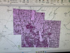
Chapter 4 is about learning how to work with spatial databases and databases. For 4.1, I could not put YouthPopulation.gdb as an Output Feature Class. It told me that the folder was empty, so I could not include it or change the name. But when I ran the geoprocessing, I still ended up with the same result that the GIS tutorial textbook showed. 4.1 also wanted me to change the outline for MaricopaCounty and Tracts. But when I found the option for outline width, a big grey shape covered up my screen.
I wasn’t able to complete all of 4.2; it was hard to modify the tables. And my validate join was invalid, so I could not get Pop youth to join the Tracts feature class.
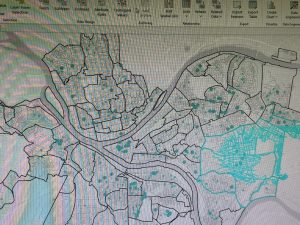
I am unable to save the expression “qryDateRange”. I could not find an option for expression under the Select by Attributes tool. So this means I was not able to then reuse a saved query to create a definition query.
Building the commands for the queries was slightly tedious, but rewarding.
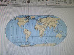
5.1 explored how to use geographic coordinates. Some things I had to troubleshoot, like under “Projected Coordinate System,” when I double-clicked the folder, nothing happened, so I was not able to click “Hammer-Aitoff (world)”. But then when I saved the project, exited and then opened it again I was able to double-click.
5.2 was about US map projections. Changing the coordinate system was fun and very easy to follow!
5.3 explained how to set projected coordinate systems
Chap 6
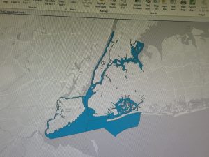
For 6.2, I don’t have the option for “UpperWestSideStreetsForGeocoding” when using the Pairwise Clip tool for this section.
I found that sometimes it was very difficult to find and navigate through certain tools.
Chapter 6 mainly helped me become more familiar with the Pairwise tools, streets, study areas, and data within different boundaries.
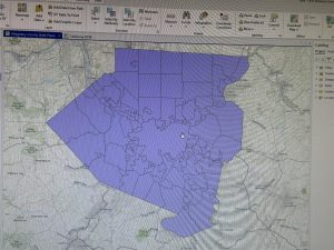
Delaware Data Inventory
Zipcode: This includes all ZIP codes in Delaware County, Ohio. This dataset is updated on an as-needed basis and is published monthly.
Street Centerline: This depicts the center of the pavement of public and private roads within Delaware County. The address data was developed from data collected by field observations of current existing addresses.
Recorded Document: This dataset contains points that represent the recorded documents in Delaware County Recorder’s Plat Books, Cabinets/Slides, and Instruments records. This dataset was made to facilitate the process of locating miscellaneous documents in Delaware County, OH.
Survey: These are points that are a shapefile of point coverage which represents surveys of land in Delaware County, OH. The surveys are then scanned and saved as PDF files.
GPS: This dataset has all known GPS monuments that were established in 1991 and 1997. This dataset is also updated on an as-needed basis.
Subdivision: This dataset has all the subdivisions and condos recorded in the Delaware County Recorder’s Office. This dataset is updated on an as-needed basis.
Parcel: This dataset has polygons that represent all cadastral parcel lines in Delaware County, OH. On a monthly basis, this dataset is maintained and published.
School District: This dataset has all School Districts in Delaware County, OH. It was first created from the Delaware County Auditor’s parcel records for the school districts.
Tax District: This dataset has all of the tax districts within Delaware, OH. The data is derived from the Tax District code.
Township: This dataset has all of the 19 different townships that make up Delaware County, OH. It is published on an as-needed basis.
Aerial Imagery: “2024 3in Aerial Imagery. Flown Spring 2024”
Building Outline 2023: Building outlines 2023
2021 Imagery (SID File): Delaware County, Ohio.
Condo: This dataset has all the condominium polygons in Delaware County, OH.
Address Point: The state of Ohio Location based Response System Address_Points data set is a spatially accurate representation of all certified addresses in Delaware County, OH.The layer makes it so you can reverse geocode a set of coordinates to determine the closest valid address and is intended to provide 911 agencies with the information needed to comply with Phase II 911 requirements.
Address Points – DXF: The State of Ohio Location Based Response System (LBRS) Address Points data provides for a spatially accurate placement of addresses within a given parcel in Delaware County, OH. Through a partnership between the State and Ohio and Delaware county helped create the data.
Annexation: The data set has Delaware County’s annexations as well as conforming boundaries from 1853 to now. This dataset is updated on an as-needed basis once the annexation has been recorded with the Delaware County Recorders office.
Building Outline 2021: The dataset has building outlines for all structures in Delaware Country, OH. The layer was updated in 2021.
Building Outline 2023:Building Outlines 2023
Dedicated row: This dataset consists of all the lines that are designed Right-of-Way within Delaware County, OH.
Delaware County Contours: 2018 Two Foot Contours
Farm lot: This dataset has all the farmlots in both the US Military and the Virginia Military Survey Districts of Delaware Country, OH. The dataset was created to facilitate in identifying all of the farmlots and their boundaries in both US Military and Virginia Military Survey districts of Delaware County, OH.
Hydrology: The dataset has all the major waterways in Delaware County, OH. In 2018 the data was enhanced with LIDAR based data.
Map Sheet: The dataset contains all of the map sheers within Delaware Country, OH.
Original Township: The dataset contains the original boundaries of the townships in Delaware County, OH before the tax district changes affected their shapes.