Chapter 5 of the book continues by introducing and going into ArcGIS Enterprise, which is a more private version than its ArcGIS Online counterpart. ArcGIS Enterprise allows its users to manage their own infrastructure or choose which cloud providers manage it, unlike ArcGIS Online, where all cloud and data is managed by Esri, which allows users more flexibility and privacy with the ArcGIS programs. ArcGIS Enterprise is a program that contains multiple different ArcGIS components that, in turn, allow for its flexibility and use in more private cases. With ArcGIS Enterprise, as shown in one of the figures in the chapter, organizations that are separate but closely related can hold their own private ArcGIS programs while also sharing necessary information and mapping, increasing communication ease and flow. Overall, Chapter 5 goes into the more technical and realistic properties of ArcGIS and ArcGIS Enterprise beyond mapping and app creation. Looks like the tutorials of this chapter utilize ArcGIS Pro, which was covered in GEOG 291 if you have taken that course. ArcGIS Pro, I find, has many more options for mapping utilities and is a more in-depth version of ArcGIS Online, with ArcGIS Online being more accessible for publishing projects.
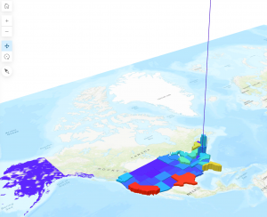
Chapter 6 of the book covers spatiotemporal and real-time data uses and implications within ArcGIS Online. This chapter covers the four types of spatiotemporal data that can be utilized by GIS systems: moving (transportation or other actively moving objects/beings), discrete (events that just happen), stationary (not moving but changes in value, like wind speeds), and change (the area covered by something, such as building parameters or flood covered land). Time duration of mapped events can be a point in time (short, direct) or a duration (length of time).
A real-world application of the ideas covered in chapters 5 and 6 is a real-time updating map system for tracking fire spread, area, and severity, or for tracking crime locations and types within a community. These maps can then be used by the relevant department (fire or police) to implement the appropriate protocols for such situations and shared with government officials or environmentalists (in the case of wildfires) to address potential problems in the area for recurring instances.