Data Inventory
Address point
- Representation of all addresses in Delaware County in Ohio that is intended for appraisal mapping, emergency response, accident reporting, geocoding and disaster management
Annexation
- Contains the annexations and conforming boundaries in Delaware County.
Building outlines 2023
- All building outlines for all structures in Delaware County and updated last in 2023.
Condo
- All condominium polygons in Delaware County.
E911
- Uses the address dataset to match it with the corresponding emergency service that is closest.
GPS
- Identifies all GPS monuments from 1991 and 1997 and is updated as needed and is published monthly
MSAG
- Includes 28 political jurisdiction with the purpose of locating a counties boundary
Municipality
- Includes all of the municipalities in Delaware County
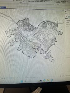
Parcel
- Consists of polygons that represent cadastral parcel lines in Delaware.
Precinct
- Data set consists of voting precincts within Delaware and is used and directed by the board of elections.
Recorded document
- Consists of points that represent recorded documents such as vacations, subdivisions, centerline surveys, surveys, annexations, and other documents. The purpose of this is to locate miscellaneous documents in Delaware as it relates to the cadastral landbase.
School district
- Consists of all the school districts in Delaware
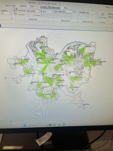
Street centerline
- Depicts the center of pavement on all roads, public and private. Intended use is for appraisal mapping, 911 emergency response, accident reporting, geocoding, disaster management, and roadway inventory.
Subdivision
- All of the subdivisions and condos that are recorded in the Delaware County Recorder’s office.
Survey
- Point coverage that represents surveys of land in Delaware.
Tax district
- Consists of all tax districts within Delaware county
-