Chapter 4: File Geodatabases
- A file geodatabase (.gdb) is Esri’s preferred way to store feature classes and tables, so shapefiles and CSVs get imported into it first.
- A join only works when both key fields are the same data type, which is why the text GEOID has to be turned into a number before joining census data.
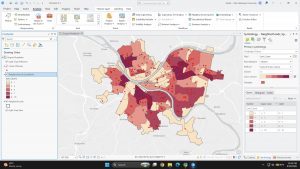
- Spatial Join counts points inside polygons, such as burglaries per neighborhood.
.
Question: Why does SQL run AND before OR, and how often do missing parentheses give wrong results without anyone noticing?
Chapter 5: Spatial Data
- In raw latitude/longitude, the poles stretch into lines and Greenland and Antarctica look huge. Switching the map to Robinson fixes most of that.
- For the US I used Albers Equal Area Conic, the standard projection for USGS and Census maps, because it keeps areas accurate.
- Local maps use State Plane. Adding the Municipalities layer switched the whole map to PA South, and the lat/long Tracts layer was projected on the fly.
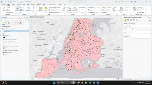
- Turned a table of NYC library X/Y coordinates into points. My first two tries came out empty because no coordinate system was set. Setting State Plane NY Long Island (3104) fixed it.
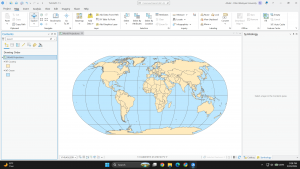
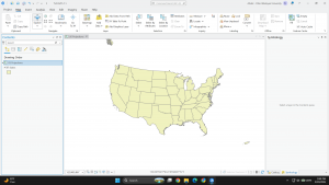
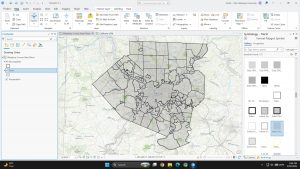
Question: If layers get projected on the fly anyway, when does it actually matter which coordinate system the data is stored in?
Chapter 6: Geoprocessing
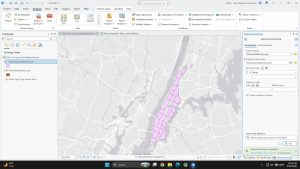
- Pairwise Dissolve merged Manhattan block groups into neighborhoods by name and removed the inner boundaries.
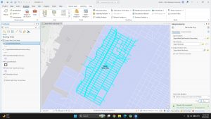
- For the Upper West Side, I exported the neighborhood, used Select By Location on the streets, then clipped them so they stop exactly at the boundary.
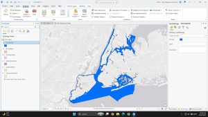
- Merge combined five separate borough water layers into one NYC water layer.
Question: Clip, Intersect, and Tabulate Intersection all overlay two layers. How do you decide which one fits a question?