Chapter 4
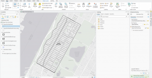
This chapter focused on creating ArcGIS projects from scratch, whereas in previous chapters, we just worked with maps through premade maps and files in the tutorial folders. This chapter also taught me how to modify the attribute tables using the data that we imported for analysis from Maricopa County, Arizona. This also included learning how to join tables from a data table to a feature class table.
Chapter 5
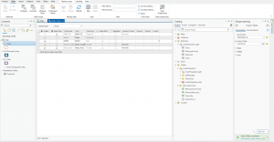
This chapter got gradually more difficult as I completed it. It focuses on the different geographic coordinate systems and world maps you can use in ArcGIS. We were introduced to the Hammer-Aitoff map as well as the Robinson world projection and U.S. map. When working with U.S. Census data for Hennepin County, Minnesota, and fixing up the data using Excel, this is where I found the part of the chapter difficult due to forgetting to rename two columns or something else, which led to issues with creating the choropleth for Male and Female Bicyclists.
Chapter 6
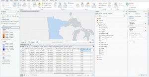
Chapter six was easier and more of a breeze than the previous chapter. It focused on creating study area block groups which I found helpful. Parts of neighborhoods that were both outside of the outlines of Upper West Side were able to be included inside the study area using the Select by Location tool.