Chapter One
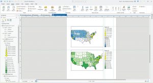
Chapter One was fairly easy to parse and understand, and aligned fairly accurately to my predictions on the chapter’s difficulty. It took me around 2 hours to complete, and centered mainly Pennsylvania and one of its major cities, Pittsburgh. Having driven through Pennsylvania and by extension Pittsburgh, I found this activity fairly interesting in understanding the economic status of Pittsburgh and simultaneously learning the beginning parts of GIS technology. At the very beginning, while completing the initial tutorials, I found remembering the prompts and commands fairly difficult. By the end of the chapter, I was far more comfortable and familiar with the software, which assisted me in later chapters.
Chapter Two
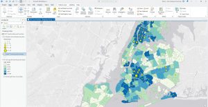
While still fairly easy to understand and manage, Chapter Two was progressively more difficult than Chapter One. Once again, this chapter included interesting economic background to a city I have personally visited (the past two summers, I have gotten to travel to NYC! Very fun!), so this chapter was quite interesting to me. The most difficult part of this chapter was the Your Turn sections; I found myself revisiting the previous section’s instructions very frequently, especially the 2D-3D map portion. Additionally, reading the unlabelled data sets was a challenge, especially with data sets with similar names like U18FHHFOOD or U18MHHFOOD.
Chapter Three
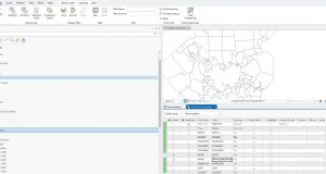
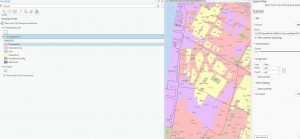
Chapter Three was easily the most difficult chapter, switching between the ARCGIS Pro app and the ARCGIS website. I found the assignments on the ARCGIS website itself were fairly straightforward, but some parts of the tutorial in the ARCGIS Pro app were quite difficult, especially the first tutorial. Creating a story map was mostly just copy-pasting from the PDF provided, so was very easy to do.