Chapter 4:
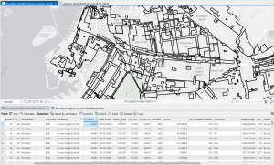
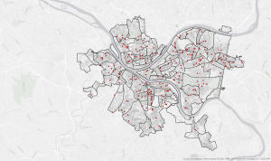
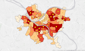
In the start of chapter 4, you have to make your own project. There were a few points in this process that confused me. This chapter also discusses how to make and import feature classes and tables. It also showed you how to modify tables to ensure they only had the necessary information. We used attribute queries to narrow crimes down to a specific subset. We used this subset to narrow down a specific robbery to identify John Bond. I found this tutorial really interesting because it felt like I could see how you could apply these features to real life. This chapter describes how to join data together into one table. In this case, we joined neighborhoods and crime. We also joined serious crimes with hierarchy. In this chapter we also made central points.
Chapter 5:
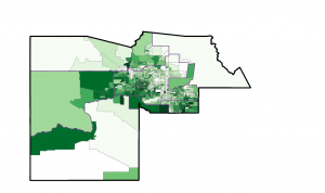
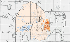
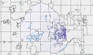
In chapter 5, we focused more on spatial data. In the beginning of the chapter latitude and longitude, as well as coordinates were discussed. Then, we compared different map projections, including both world and US projections. It surprised me how many different map projections there are, I had previously thought there were only a handful of them. I got to see different kinds of warping between the different projections. The chapter also discussed how to set coordinate systems for layers. This chapter also discussed downloading shapefiles. Shapefiles contain spatial data that can be used by ArcGIS. We also downloaded data from the internet, like census data and bike use data. The data had to be opened in Excel and cleaned up so that it could be used more effectively. The chapter also showed how to get data from the living atlas.
Chapter 6:
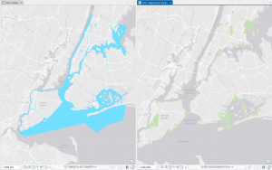
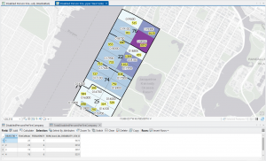
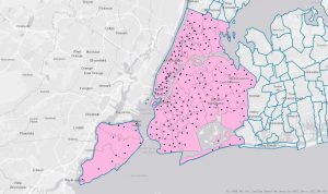
Chapter 6 was focused on several geoprocessing tools available in GIS. The first tool the chapter covered was pairwise dissolve, which was used to combine block groups into a neighborhood. Then, extracting and clipping features was converted. Extracting was used to create a study area using a table and clipping was used to cut off parts of a feature, like with streets. Next, we had to merge the various water features into one feature, NYC water. The chapter then covered appending to add features to existing classes. Then, the chapter discussed using the pairwise intersect tool to summarize streets for fire companies. Using the union tool to combine polygon layers into one was also described. Finally, the chapter covered using the tabulate intersection tool to understand amounts relative to area. This chapter covered a lot of tools, which were a bit difficult to keep track of. I see myself needing to refer back to this chapter when I need to use these tools.