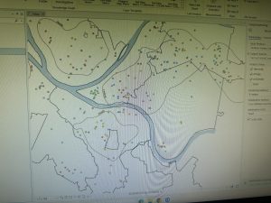
Chap 7 focuses on editing, creating, and deleting polygon features. I learned how to make and digitize point features, use cartography tools to smooth features, and work with CAD drawings. I learned how to move and edit the polygons, and I found this to be an interesting but very useful feature.
I couldn’t figure out how to make the red that symbolized the parking lot appear. And I also didn’t know how to make the transportation icons pop up.
7.4 Under HBH1 polygon, I can’t get the colors to show up on the map.
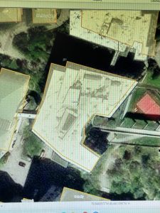
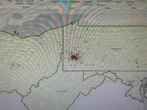
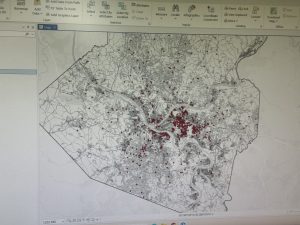
Chap 8 focuses on learning about the geocoding process, using geocode for ZIP codes and using geocode for addresses using streets.
8.1 I don’t see an option for Locators. I could not find a “Pick from Map” button, so I wasn’t able to add a point in the geocoding process. When I tried to symbolize using the Collect Events tool, it kept saying, “Collect Events failed.”
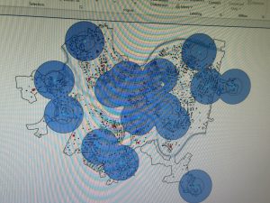
Chap 9 focuses on using buffers for proximity analysis, using multiple ring buffers, creating service areas of facilities to estimate a gravity model of demand versus distance from the nearest facility and learning how to perform cluster analysis to explore multidimensional data.
- I was unable to summarize when right-clicking “AGE_5_17”.
In tutorial 9.3, you learned how to create a multiple ring service area for calibrating a gravity model. During 9.3, when I right-clicked on “Service Area,” there was no option for “Input Data,” so I was not able to import Facilities and apply the settings asked for in the textbook. I also could not find an option for travel settings, so I skipped that step. Then my “UseRate” tool was not calculating, so I wasn’t able to make the scatterplot.
9.4 Was confusing for me, mainly because of the “your turn”. I was not able to make it look like the pictures it had as examples.