Chapter 7
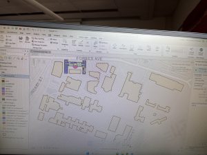
Chapter 7 focused on editing and creating geographic features in ArcGIS Pro. I worked with polygons, including moving, reshaping, and adjusting them to match buildings and other map features. I also found it interesting to work with campus building layouts and CAD drawings because it showed how GIS can be used for something as specific as mapping individual buildings and their interior spaces. I also learned more about georeferencing and the importance of aligning different layers correctly. This chapter felt more hands-on compared to some of the earlier ones, and I could see how these tools would be useful for campus planning, construction, and keeping maps updated as physical spaces change.
Chapter 8
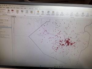
Chapter 8 introduced geocoding, which converts information like street addresses and ZIP codes into locations on a map. I found this particularly interesting because many datasets we work with outside GIS contain addresses rather than geographic coordinates. Turning that information into mapped points opens up more possibilities for analyzing the data. The tutorials also covered address locators and address matching, including how to handle records that might not match correctly. Looking at the distribution of points across Allegheny County helped me understand how individual records can be represented geographically. Overall, this chapter was relatively straightforward, and I think I could see myself using geocoding in future data analysis projects.
Chapter 9
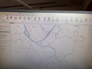
Chapter 9 covered more advanced spatial analysis tools, including buffers, service areas, and clustering. I found this chapter interesting because it went beyond displaying geographic information and focused on using it to answer questions and identify patterns. The examples involving public swimming pools showed how distance and accessibility factor into evaluating services in an area. I also worked with multivariate clustering, using different crime-related variables to identify geographic patterns across Pittsburgh. The clustering part was especially interesting to me because it connected GIS with statistical analysis and the idea of grouping observations based on similarities in their characteristics. This chapter introduced quite a few new tools, but it helped me better understand how GIS supports decision-making rather than just map creation.