Chapter 4 was probably one of the most difficult chapters for me, but also one of the most fun and rewarding to get through. Attribute Queries were the biggest help I found in this chapter for future GIS applications. Identifying trends/patterns applies to so many career paths! I am also doing a project for my Human Impacts class that uses GIS to explore the effects of deforestation, and many of the tools we used in this chapter were also relevant in that, which was cool!
Chapter 5 was the most applicable chapter of all to me! In other classes, I’ve learned of the importance of familiarity to people who aren’t as apt to learning new things, and these maps and coordinate systems are extremely recognizable to lots of people. Seeing the warping between different projections was also very helpful in understanding how these specific maps can be manipulated. I loved the application of census data, and seeing how different types of data can be amalgamated or portrayed in similar ways!
Chapter 6 reminded me a lot of work I’ve done in other classes, such as coding in R. These tools were super cool to use and get comfortable with, and I found that it wasn’t as hard or intimidating as I initially thought upon skimming the chapter. Creating study areas and being able to layer features in a way that specifies the data perfectly was also just very satisfying. I can see exactly how these could be used in studies like deforestation, animal population, psychology, soil/air quality, etc.
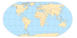
Chapter 5 Image
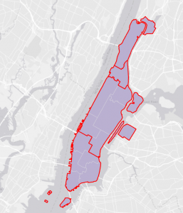
Chapter 6 Image
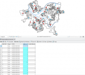
Chapter 4 Image