The Garmin GLO 2 Portable Bluetooth GPS is meant to work with any smartphone, tablet, or other mobile devices, adding significant precision to location data collected by your device (using relatively low-resolution cell-tower triangulation and GPS).
Instructions for using the GLO 2:
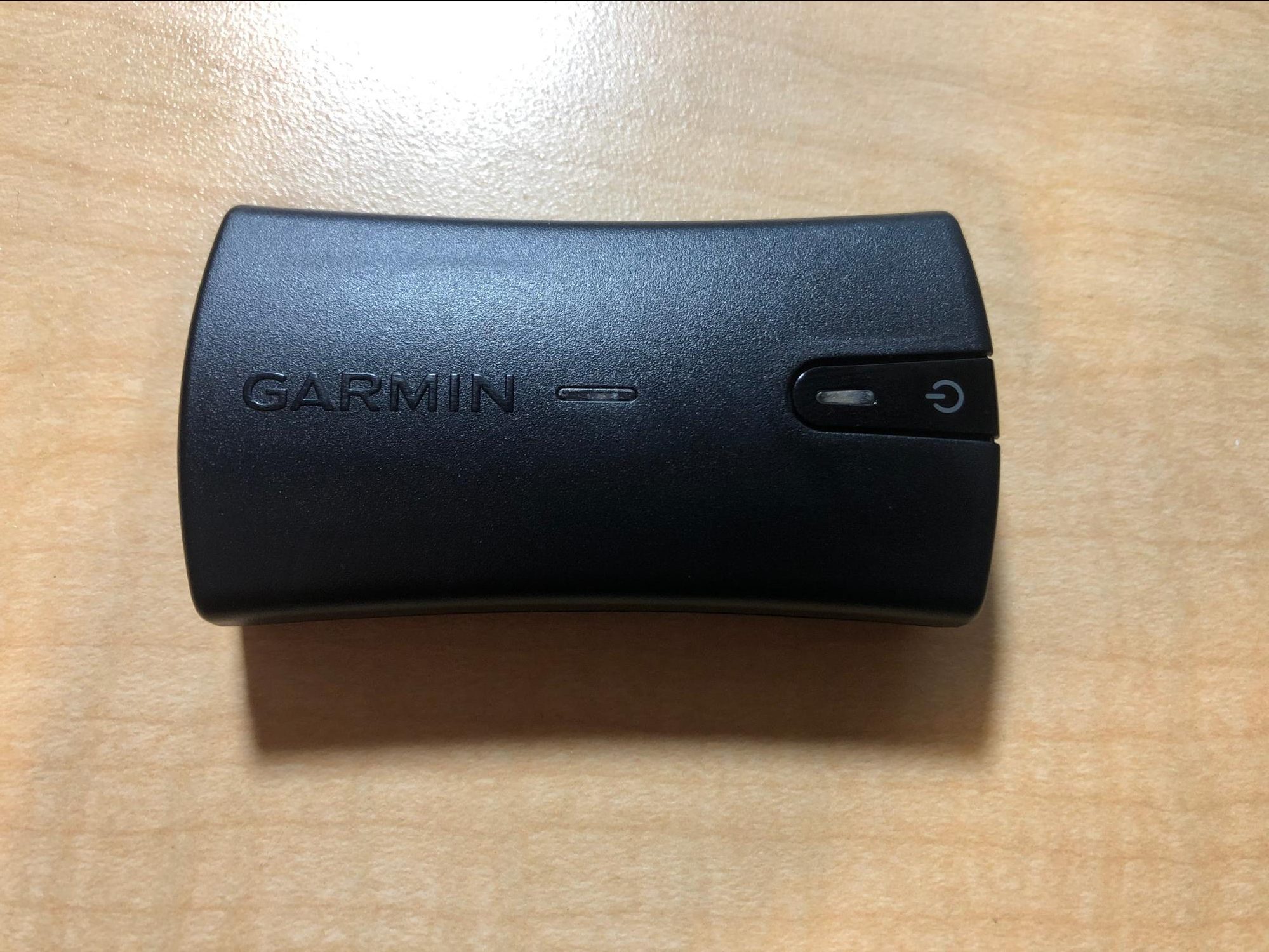 |
The Garmin GLO 2 Portable GPS connects to your phone using Bluetooth and enables you to collect location-based data with higher accuracy than using your phone’s GPS. |
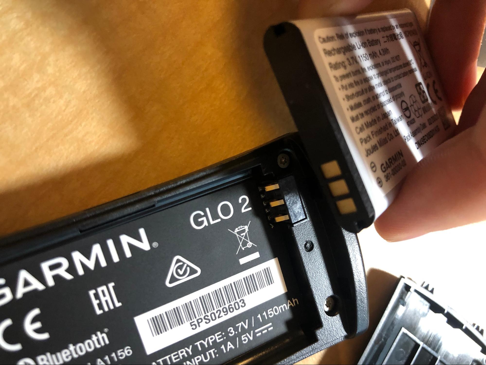 |
To start, remove the battery panel and insert the battery so that the three metal panels of the battery come into contact with the three metal pins of the GPS. |
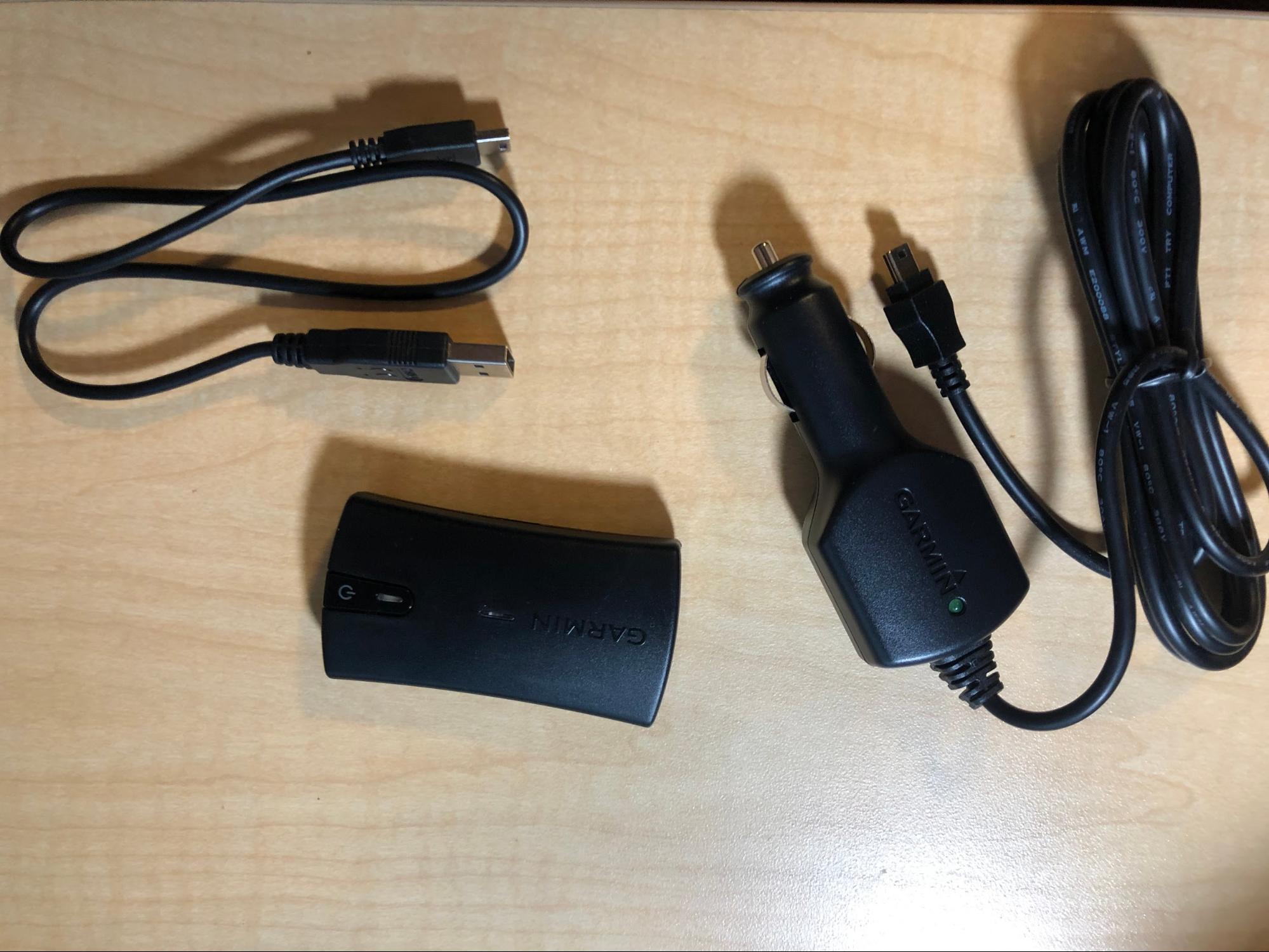 |
Charge the battery before you use the device. Connect it to power using one of the provided cables – it takes about 3 hours to fully charge and has a battery life of 13 hours. |
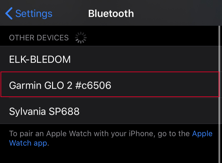 |
Go to your mobile device’s bluetooth menu and pair it with the “Garmin GLO 2” device. After pairing, make sure you’re connected to the Garmin Glo. |
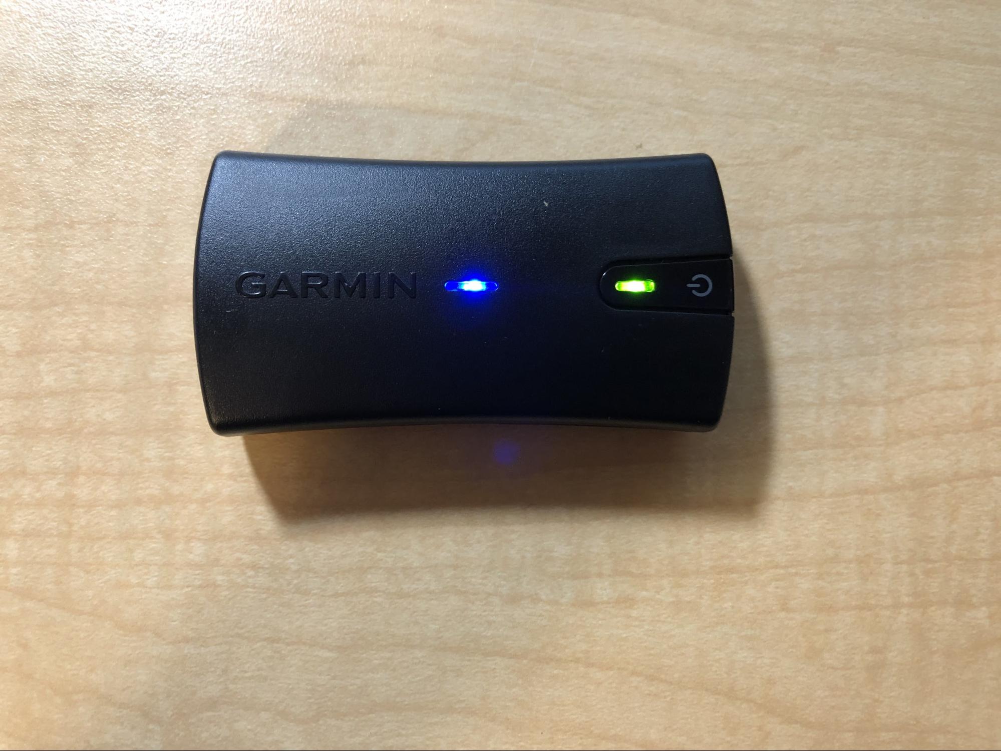 |
Take the GPS outside to allow it to connect to the GPS satellites. A solid blue LED means your phone is connected; a flashing green LED near the power button means the GPS is searching for satellites (which may take several minutes) and a solid green indicates that the device has established your location. Accuracy varies depending on the number of GPS satellites the device can detect, as well as your location. Be patient to get the best data. |
Once connected, you can use the information here to use Esri’s “ArcGIS Collector” App to collect location data for GEOG 353 (Cartography and Geography). You’ll need to do some work on ArcGIS Online first in order to have a map you can add features to using the mobile app.
Please forward any additional useful information you learn about the Garmin GLO 2 Portable Bluetooth GPS to your instructor.