Update 9/13/2020
In a stunning shift from the past, Geography 353 is going to shift to ArcGIS Online (from ArcGIS Desktop) for the Fall of 2020.
While your dear instructor has many decades of experience with ArcGIS Desktop, he has but little with ArcGIS Online. Concepts are the same, technology is different. Thus we will be heading into new and exciting territory.
We will be all learning the software in tandem with some key mapping and GIS concepts and applying what we learn to a real-world project, in collaboration with the City of Delaware. We may also help other folks on-campus use ArcOnline.
Pray for us all.
Be aware that there are a crap-ton of resources and help on ArcGIS Online available online. To get through this learning process you will have to be creative and persistent and learn to solve problems on your own. Your instructor is happy to help, but give it the old college try (which means taking the initiative to solve problems).
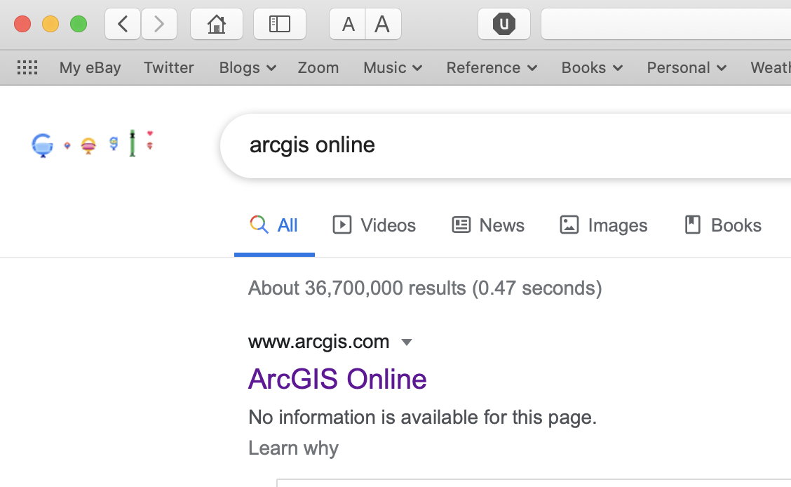
Always have this window available: type your question or issue or whatever after the software name:

ArcGIS Online Assistant: go here
Blog + Account Set-Up + ArcGIS Online Basics
- Assign Monday, Aug. 24, Due Monday, Aug. 31
Create a Class Work Blog for yourself
- Log into WordPress.com if you have an account and add a new blog.
- If you don’t have an account, start here
- send a public link (make sure you are logged out before copying the URL) to your instructor.. The link will be a url something like this: http://mygeog353blog.wordpress.com
- create a blog entry with a suitable title for each assigned…
- …reading, with comments, questions, and points of discussion
- …task (like this one), with comments, questions, and screenshots if necessary
- …chapter from the Getting to Know Web Maps book, comments, questions, etc.
- …Assignment from the Getting to Know Web Maps book, documenting your completion of the assignment
Setting up ArcGIS Online
- Your ArcGIS Online account: sign-in: ArcGIS.com
- Your MyESRI Account & ESRI Academy: sign-in: MyESRI.com
- you will be sent a token to connect your ArcGIS and MyESRI accounts which will give you access to additional training resources (MyESRI > My Organizations)
- you can toggle between these two accounts
- in both cases, explore your profile and settings and customize to your heart’s content.
Learning ArcGIS Online
- Get Started: What Is ArcGIS Online
- Go to ArcGIS Online main page
- Select Resources, then Get Started
- Make it so. It takes about 30 minutes
- Please review the other available resources
- Web Course: ArcGIS Online Basics
- From your ArcGIS Online account info (upper right corner)
- select Training, then Catalog, then Course Catalog
- Under Browse by Topic select Getting Started
- Under Select a Focus Area select Get Stated with ArcGIS Online
- Select the Web Course ArcGIS Online Basics.
- Make it so. It takes about 2 hours.
- Direct link here
- Please review the other available resources
Getting to Know Web GIS (4th edition)
Download resources for the tutorials here.
ArcGIS Collector
- Assign Monday, Aug. 31, Due Wednesday, Aug. 9
Using the Garmin GLO 2 Portable Bluetooth GPS
This device connects (via Bluetooth) to your phone, tablet, or other smart device and significantly improves the quality of the GPS data you collect.
Instructions on using the Garmin GLO 2 Portable Bluetooth GPS
How to check if your photo has coordinates (geotagged):
How to See Exactly Where a Photo Was Taken (and Keep Your Location Private)