Zip Codes: Provides data on zip codes of Delaware and different roads and tax parcels within the zip codes
School Districts: separates the school districts in Delaware County and is updated monthly
Building outline: Provides outlines of all the buildings in Delaware County
PLSS: Provides data on the Public Land Service System in the US and the Virginia Military Service District in Delaware County
Street Centerlines: Depicts the center of public and private streets in Delaware.
Address Points: Provides accurate placement of addresses within a parcel and is maintained by the auditor’s office. It aids in appraisal mapping, 911 Emergency Response, accident reporting, geocoding, and disaster management
Parcel: shows polygons that represent cadstral parcel lines in Delaware. They are updated daily and posted monthly.
Delaware County E911 Data: Is based on the address points data, and provides more accurate data to 911 agencies. This is used to determine the closest address to the 911 call.
Condo: Provides polygons that represent all of the condos in Delaware
Subdivision: provides points that represent all of the subdivisions in Delaware. Data was created to help locate miscellaneous documents in Delaware County
Original Township: Shows the original boundaries of Delaware townships before Ohio tax districts influenced their shapes.
Precincts: Shows voting precincts in Delaware County and is controlled by the Delaware County Board of Elections
Dedicated ROW: Shows lines that are designated right of way in Delaware County.
Map Sheet: shows all map sheets in Delaware County
FarmLot: Shows all the farm lots and their boundaries within Delaware that are in the US Military and the Virginia Military Survey of Delaware.
Annexation: Provides Delaware’s annexations and conforming boundaries from 1853 to the present.
Survey: represents surveys of land in Delaware County
Tax Districts: Consists of all the tax districts in Delaware County and is defined by the Delaware Auditor’s Real Estate Office.
Hydrology: Shows all major waterways in Delaware County and is published monthly
GPS: shows all GPS monuments that were established in 1991and 1997 and is published monthly
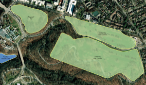
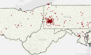
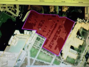
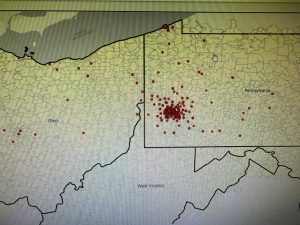
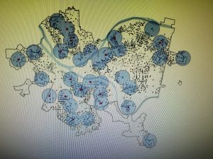
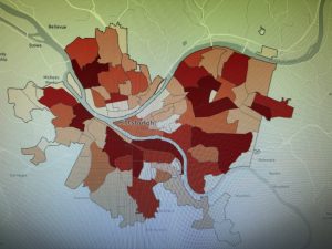
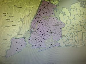
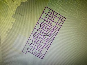
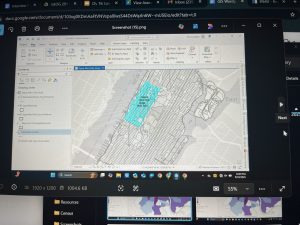
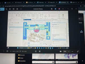
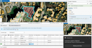
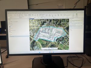
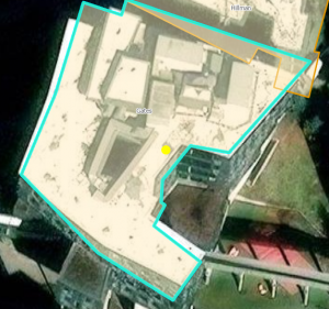
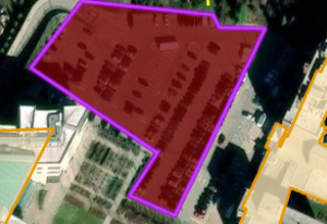
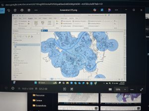 Chapter 7: This chapter briefly went over how to modify and edit maps. While this chapter didn’t provide super important information, it was still very helpful. It gave me background on how to scale and move polygons within the map. Essentially, this chapter helped me design my maps to be more visually appealing. I only ran into a few problems within this chapter. One of them is my inability to split the buildings. I drew my shape around the building and double-clicked as instructed, but the two buildings in 7-1 didn’t split. It was interesting to apply polygons to not just buildings, but parking lots, and other features as well. This taught me how useful creating a digital version of it on the map can be. Another issue that I ran into was my inability to find the bus stop marker. I don’t think this is a big problem at all because I was able to use another symbol to mark the bus stop, but I thought I would note it. For future reference, it was good to learn that I have to import features from a downloaded building so that I can modify them.