Chaptwer 4- 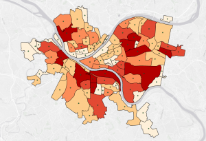
There was alot of new information learned in chapter four. We imported data into file geodatabases. Modify attribute tables and fields. Use Python expressions to calculate fields, Join tables. Get an introduction to SQL query criteria. Carry out attribute queries. Point data to polygon summary data.
Chapter 5-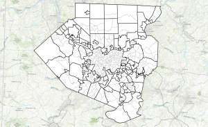
Discussed latitude and longitude coordinates that pinpoint your location precisely on the surface of the earth. we learned about latitude and longitude coordinates and their geographic coordinate system. We learned about map projections, making flat maps from the nearly spherical earth. This chapter provided some guidelines for choosing a projection.
Chapter 6-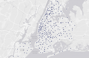
We practiced geoprocessing and set of tools for processing geographic data. We had to use geoprocessing tools to build study areas in a GIS and perform tasks. Learning how to extract a subset of spatial features from a map using attribute or spatial queries. Processing and prepare layers for emergency management officials in New York City’s Manhattan borough and one of its neighborhoods, the Upper West Side.