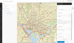
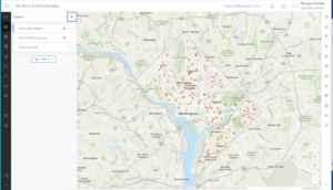
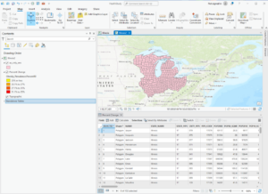
These chapters and guided tutorials were generally pretty easy to follow. I got stuck a few times, but rereading the instructions and playing around with all the tabs in the software made it very doable. I thought it was neat seeing all the different features that the software offers and even went off on my own to find maps of my hometown. There’s so many different maps that people upload, at least to my hometown and it was just cool to explore the different maps people made. After each chapter, they had keywords so I’m just going to define some of them below. These pictures are from 3 of the four chapters the guided tutorials we went over. There’s a lot of information in each chapter but its all very useful and enlightening.
Basemap- A map that is the basis of GIS visual and geographic context. It may include information such as landforms, administrative boundaries, landmarks, and roads
Vector- A coordinate-based data model that represents geographic features as points, lines, and polygons. Each point feature is represented as a single coordinate pair, while line and polygon features are represented as ordered lists of vertices.
Layer- [data structures] The visual representation of a geographic dataset in any digital map environment
Raster– [data models] In imagery and elevation, a spatial data model organized into a matrix of equally sized cells, or pixels, and arranged in rows and columns, composed of single or multiple bands.
Geoprocessing– [analysis/geoprocessing] A GIS operation that is used to manipulate data from an input dataset and return the result as an output dataset.
Extrusion– the process of projecting features in a two-dimensional data source into a three-dimensional representation: points become vertical lines, lines become planes, and polygons become three-dimensional blocks.
Attribute query– a request for records of features in a table based on their attribute values
Layer file– [data structures] In ArcGIS, a file with a .lyr extension that stores the path to a source dataset and other layer properties, including symbology.
Layer package– [Internet] A special file (layer_name.lpk) that contains a layer, a copy of the data, and an XML file that has a brief description of the layer.
Spatial join– [spatial analysis] A type of table join operation in which fields from one layer’s attribute table are appended to another layer’s attribute table based on the relative locations of the features in the two layers.
Shapefile– [ESRI software] A vector data storage format for storing the location, shape, and attributes of geographic features
Geodatabase– [ESRI software] A database or file structure used primarily to store, query, and manipulate spatial data.
Feature class– [ESRI software] In ArcGIS, a collection of geographic features with the same geometry type (such as point, line, or polygon), the same attributes, and the same spatial reference
Feature dataset[ESRI software] Data that represents geographic features as geometric shapes.
Spheroid– A three-dimensional shape obtained by rotating an ellipse about its minor axis, resulting in an oblate spheroid, or about its major axis, resulting in a prolate spheroid.
On-the-fly projection– Assembled, created, presented, or calculated dynamically during a transaction such as a Web page search or data display query.
Metadata– [data transfer] Information associated with data that provides contextual details. Metadata can include date/time, origin, standards, and other relevant properties.
Attribute domain– [data structures] In a geodatabase, a mechanism for enforcing data integrity.
Edit sketch– [ESRI software] In ArcGIS software, a temporary, underlying representation that is used to create or edit feature geometry.
Feature template– [ESRI software] A collection of default settings for creating a feature, including the layer where the feature will be stored, the attributes it will have, and the default tool used to create it.