DATA SUMMARY
- Zip Code
- Contains all zip codes in Delaware County
- Recorded Document
- Points that represent recorded docs in Delaware County Recorder’s Plat Books (how purchased property is divided in an area), Cabinet slides, and Instruments
- School District
- Consists of all school districts in Delaware County
- Map Sheet
- Consists of all map sheets in Delaware County
- Farm Lot
- All farm lots in US Military and VA Military Survey of Delaware County
- Township
- Created to identify geographic boundaries of each township in Delaware County
- Street Centerline
- LBRS depict center of pavement of public/ private roads in Delaware County
- Annexation
- Contains annexation data and conforming boundaries
- Condo
- Consists of all condominium polygons in Delaware County
- Subdivision
- All subdivisions and condos in Delaware County Recorder’s office
- Survey
- Locations of the survey plat
- Dedicated ROW
- Shows all dedicated right of way polygons in Delaware County
- Tax District
- All tax districts in Delaware County
- GPS
- All GPS monuments est. 1991 and 1997
- Parcels-DXF
- All parcels in Delaware County
- Subdivsions-DXF
- All subdivisions and condos in Delaware County Recorder’s office
- DXF- kind of vector file (I think)
- Original Township
- Original boundaries of townships in Delaware County
- Imagery 2019
- Raster layer
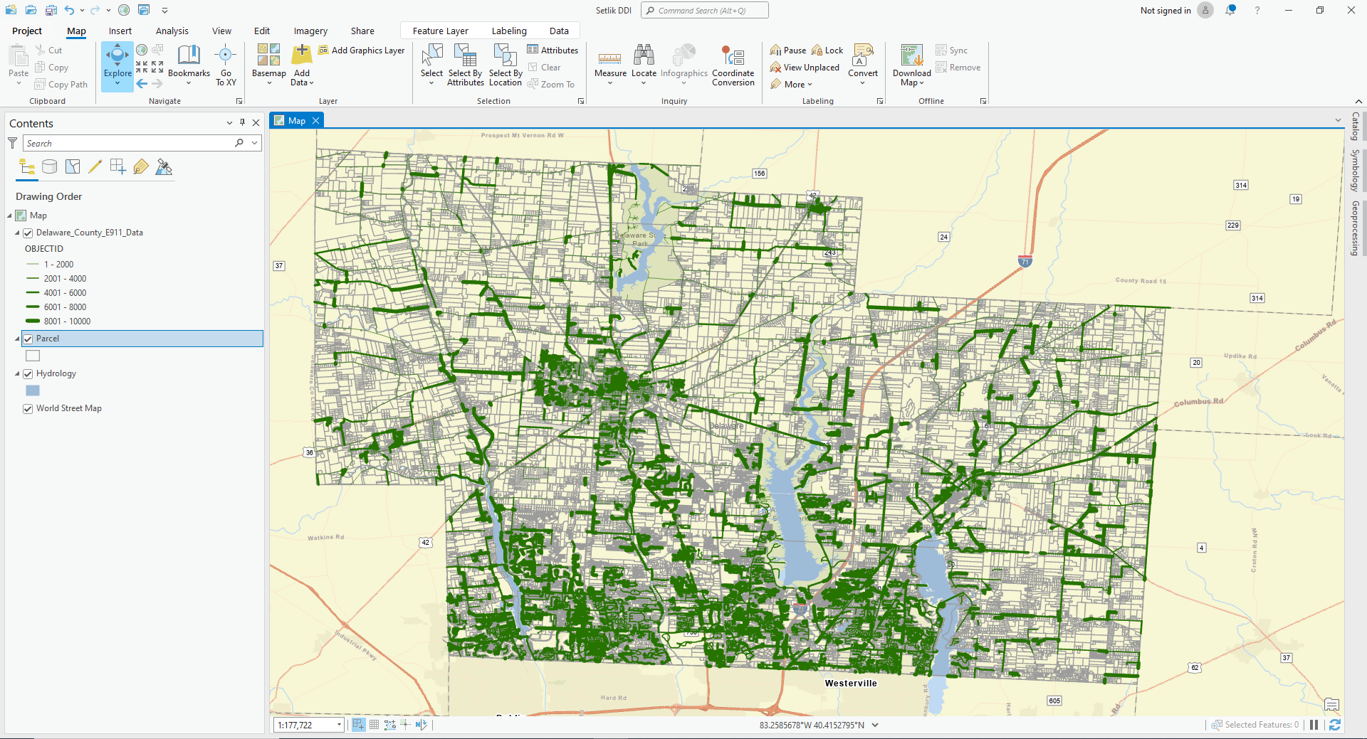
- Hydrology
- All major waterways in Delaware County
- Precinct
- Polygons that determine voting precinct boundaries in Delaware County
- Parcel
- All parcels in Delaware County
- PLSS
- Contains polygons of boundaries of 2 land survey districts in Delaware County
- Address Points
- All addresses in Delaware County
- 2022 Leaf- on imagery (SID file)
- Image collection
- Building outline
- All building outlines for structures in Delaware County
- Delaware County Contours
- File geodatabase
- 2 foot contours for Delaware County
- Address Points- DXF
- CAD Drawing
- LBRS provides spatially accurate placement of addresses
- Street Centerlines- DXF
- CAD drawing
- Depict center of pavement of public and private roads in Delaware County
- Building Outlines- DXF
- CAD drawing
- 2021 Imagery (SID file)
- Image collection
- Delaware County E911 Data
- Feature Service
Some of these data were self-explanatory, and others required a little more reading.
Definitions:
- CAD drawing- Detailed illustration using vector/ raster based graphics to create traditional drafts
- Feature service- Serve feature data and nonspatial tables over internet
- File geodatabase- Collection of files that can store spatial and nonspatial data
DXF files are used in AutoCad (Computer Aided Drafting) which is an engineering software package that usually is focused on mechanical designs but also includes architecture and (scaling up) larger areas. Thus it overlaps with GIS.
Mostly this is to help with the final (where you can use any of this data) but also be aware that probably 90% of the counties in the US have this kind of detailed data, which is typically available for free. Good to know if you ever need such data.