Chapter 1:
- Projects: contain maps, layouts, layers, tables, tasks, tools, and connections to servers, databases, folders, and styles – everything you needed stored in one
- Can have maps 2D or 3D, or both simultaneously
- Geoprocessing tools allow you to perform spatial analysis and manage GIS data
- Configure symbology, clusters, and pip-ups to make the data layers and attributes more usable
Chapter 2:
- Content pane allows you to modify map’s layers
- Symbology: the way GIS features are displayed on a map
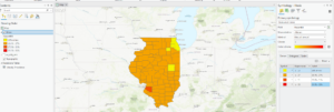
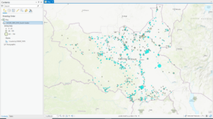
- Graduated symbols – are used to represent a range of symbols based on an attribute field, greater the value the larger the symbol
- Learned to import maps, add local data, practiced converting 2D to 3D


Chapter 3:
- Using GIS you can combine datasets, enrich them with new attributes, derive statistics from them, and get new information based on their relationships
- Definition query: you can set a definition query limit to limit the visible areas to only those that you choose – help to use when working with a subset of data in a map while maintaining the source data
- Attribute join: you can use this operation to append the spreadsheet table to your existing attribute table – as long as you have a common attribute field in each
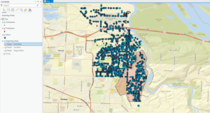
- Spatial join: joining data based on location, not common attribute – allows you to define a spatial relationship between two layers
- This chapter is on data relationships

Chapter 4:
- Will populate empty geodatabase by converting shapefiles and mapping x,y location values found in nonspatial tables – all outputs will be placed in geodatabase
- Use script tool to convert multiple files at once
- Snapping: is an editing option that acts like a magnet – if point you create is within distance of another feature’s vertex, endpoints, edge, or intersection, it will jump to coincide with another feature

Chapter 5:
- Tasks: feature that allows you to use a series of predefined steps that can incorporate commands and geoprocessing tools, including model and script tools
- ModelBuilder: geoprocessing environment that allows you to easily link one tool to another and run a set of operations one after another – provides helpful visual diagrams of geoprocessing workflows
- Python is the scripting language compatible with ArcGIS software
- Model: allows you to string multiple geoprocessing tools together and rin them automatically

lookin’ good