Chapter 9
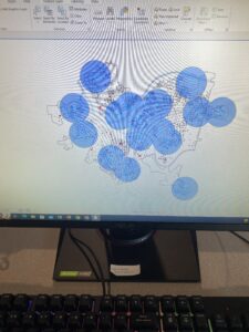
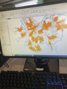
Chapter 9 was pretty simple and straightforward as it focused on spatial analysis and combining and interrupting data based on different locations. I ran into some issues finding some of the newer functions it asked me to use but I eventually was able to find them and continue on with the chapter.
Chapter 10
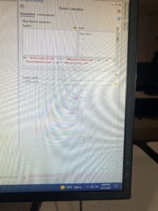
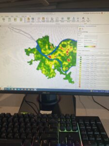
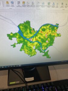
For 10-1 I did not have the LandUse_Pgh file in my Chapter10.gdb so I couldn’t finish this tutorial. I am not sure why I am missing some of the downloaded data. This has been happening throughout these tutorials. 10-2 was straightforward and I was able to get through it pretty easy but 10-3 was difficult for me when I got to the point when you have to enter some expressions in the raster calculator and that did not work for me. I think I did a step wrong before that but I don’t know how to fix it.
Chapter 11
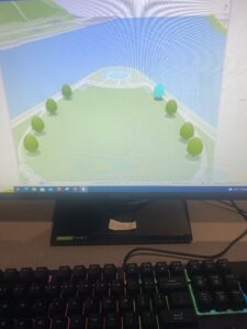
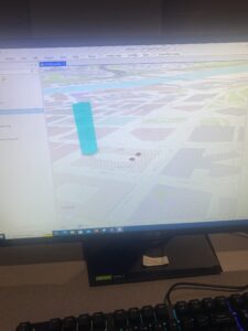
This chapter focused on all things 3D in ArcGIS. I had some issues just because of the nature of the use of 3D but nothing too crazy. It is very cool to see things from this point of view, especially while using the program in exclusively 2D the past 3 weeks. 3D GIS is a bit daunting but these tutorials made it much simpler and easier to navigate and understand.
