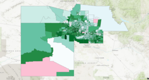
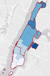
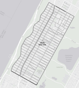
4.1 In this tutorial I learned how to set up a GIS project and create folder connections. I also learned how to convert outdated filetypes into ones used by modern GIS, import data tables, and modify geodatabases.
4.2 I learned how to sort information a whole bunch of different ways in attribute tables. I can add new fields, calculate them using values from other fields, sort them, remove them.
4.3 was corrupted, even after redownloading.
4.4 This was a very short tutorial about creating spatial joins.
4.5 Another very short tutorial about creating central points for polygons and making point layers.
4.6 Another short tutorial about creating a new table to join new information to existing data.

5.1 Now I know how to change the coordinate projection method on a global scale.
5.2 Now I know how to change the coordinate projection method on a continental scale, these really could have been 1 tutorial.
5.3 Learned how to find and set a coordinate projection for a smaller local system
5.4 Learned about X,Y format for coordinates, how to integrate it into a map, and how to convert more file types into feature classes.
5.5 This tutorial isn’t working
5.6 Same for this one

6.1 Learned how to use the pairwise dissolve tool create new groupings.
6.2 Learned how to use the pairwise clip tool to cleanly select an area.
6.3 This tutorial isn’t working
6.4 Short tutorial, learned to append features onto different datasets.
6.5 Learned how to use the pairwise intersect tool.
6.6 Learned how to use the Union tool to combine feature classes.
6.7 Learned how to apportion data from two feature classes using the Tabulate Intersection Tool.


7.1 Learned how to manipulate and edit polygons. Making all the buildings line up was very satisfying.
7.2 Learned how to create my own polygons, also very satisfying.
7.3 Broken.
7.4 Also Broken.
