Getting to Know ArcGIS Chapter 1
Notes and Comments:
- GIS is composed of five interacting parts: hardware, software, data, procedures, and people
- Spatial data is information that represents real-world locations and the shapes of features at those locations and the relationships between them
- GIS, like mentioned in the Mitchell book, is a visual, quantitative, and analytic tool
- Geoprocessing is the manipulation of spatial data
- Open data allows anyone to get authoritative data and information. ArcGIS Hub is a way the public can freely access maps and data
- I find the concept of open data fascinating as one of the goals of it the book mentions is the ability to get right to problem-solving. We have so much data, especially in research papers, but I feel that it is hard to take action
- It’s good to keep in mind that ArcGIS Desktop is a suite and not just confined to ArcMap and that ArcGIS Pro is part of the ArcGIS Desktop suite
Exercise Notes and Screenshots:
- I couldn’t find the outline toggle in step 12 of Configure the map symbology so I skipped it; I do not believe it made a difference
- Despite this book being pretty new, the names for a bunch of things are somewhat different than the book records them to be


Getting to Know ArcGIS Chapter 2
Notes:
- ArcPro and ArcOnline communicate with each other much better than ArcMap and ArcOnline as ArcPro allows you to sign in
- ArcPro projects can contain multiple maps, geodatabases, folder connections, layer files, task lists, models, toolboxes, and more
- The world symbol next to the “Explore” tool is the full extent button
- The feature layer ribbon is activated any time a layer in the contents sidebar is selected
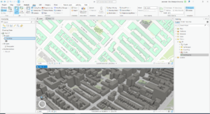
- Extrusion is the process of stretching flat 2D features vertically so they appear 3D
- To package a map there must be a description in the map’s metadata
Exercise Questions and Screenshots:
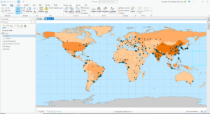
- (Modify map contents 5) PM concentrations are highest in Africa
- (Examine the contextual ribbon 2) If you close the content pane, go to “View” and click “Contents.” The Geoprocessing tool is next to the “Contents” button
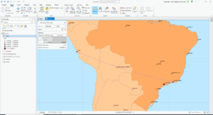
- (Examine feature attributes 4) Shanghai, China has the largest population
- (Create a 3D scene) The height of the tallest building is 339.76
Getting to Know ArcGIS Chapter 3
Notes and Comments:
- Definition queries make certain features or areas invisible but they do not get rid of them
- To subset from a data set you can use a definition query, the clip feature, or the select and export feature
- Joining the join table to the attribute table requires that the attribute type is the same (e.g. text joins to text)
- You cannot have spaces or more than 10 characters in the field heading in the attribute table
- Spatial join allows you to join data based on location. You combine the target and the join layer into a new output layer
- I can follow along easy enough but if you told me to do this on my own I would be clueless
Questions and Screenshots:
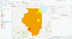
- (Add data to project 5 part 1) The field name that indicates which state the county is in is STATE_NAME
- (Add data to project 5 part 2) The number of Wayne county residents between ages 22-29 is 10,575
- (Join data tables 3) Six years of data are represented
- (Overlay additional data 1) No, I do not see a clear correlation between income and 2010 obesity rates. While many counties with high obesity rates have lower incomes a moderate number of counties with moderate to high incomes also have high obesity rates
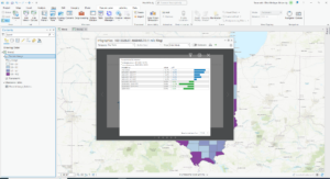
- (Examine infographics 3) 18.7% of households had an income of less than $15,000 per year
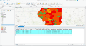
- (Relate tables 7) There are 4 food deserts in Knox County
- I had a problem displaying the proper amount of LILATracts so I skipped the labeling part

Getting to Know ArcGIS Chapter 4
Notes:
- Shapefiles store the data for one set of features
- Geodatabases have the ability to store multiple datasets
- Geodatabases are an ideal model for sharing data as shapefiles are much larger
- Geodatabases have the ability to create an attribute domain which minimizes the potential for data entry mistakes by setting a range to which attributes in each field must be limited to
- In the geoprocessing pane built-in tools are denoted with the hammer icon and script tools are denoted with the scroll icon
- ArcGIS applies a projected coordinate system of the first layer to all added subsequent layers
- Snapping allows you to connect features, without impossibly precise sketching
Questions and Screenshots:
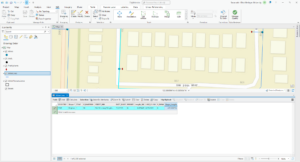
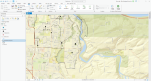
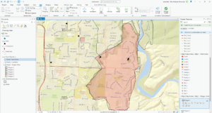
- (Configure snapping options 8) The selected line has 4 vertices
- (Split polygons 12) The Shape_Area value decreased


Getting to Know ArcGIS Chapter 5
Notes:
- Tasks can be documented series of instructions that incorporate or call forth certain tools and commands
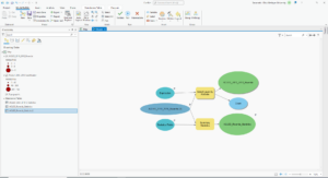
- ModelBuilder is a geoprocessing environment that allows you to easily link one tool to another and run one set of operation after another
- In the “Tasks” pane you can follow or define a workflow
Questions and Screenshots:
- (Set up a project 4) The conflict events recorded in the dataset are battle (government regains territory), battle (no change of territory), battle (non-state actor overtakes territory), headquarters or base established, non-violent transfer of territory, remote violence, riots/protests, strategic development, and violence against civilians
- (Author a task 12) 14,211 fatalities resulted from violent conflicts against South Sudanese civilians between 2010 and 2018
- (Fill out the tool parameters 5) 71 fatalities resulted from violent conflicts against Rwandan civilians between 2010 and 2018
- (Convert a model to a geoprocessing tool) 41 riots/protests occurred in Rwanda between 2010 and 2018 and 12 fatalities resulted from these events
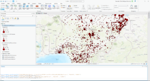
- (Use a custom script tool 1) The geoprocessing tools of “Select Layer by Attribute” and “Summary Statistics” are combined in the script
- (Use a custom script tool 6) 26,323 fatalities resulted from violent conflicts against Nigerian civilians between 2010 and 2018





excellent documentation. good to move on, as we discussed, if you get to a point where some detail in the software does not seem to be working. if you want i can always take a look if you really want to know how to do whatever isn’t working.