- Hello! My name is Camille Mattox. I am a freshman planning to major in environmental science. I am also involved in music programs at own like percussion ensemble. I play marimba and its great fun. I glad I can continue that as an interest here ever though I don’t plan to major or minor in music. I have lived in Blacklick, Ohio for all of my life but my family does love to travel. we take trips about every summer to a different chance of the US so I have been to just about all of the states in the US.
- Introducing the Identities of GIS
GIS is extremely versatile and is often used behind the scenes. Being a growing topic, GIS lacks clear cut distinctions between how/where it is used, when it is used, what it should be classified as, and the differences between GIScience and GISystems. GIScience is treated as a theoretical baseline while the GISystems are treated as processes you can apply GIScience through. Arguments of how it should be used focus on GIS as the centerpoint while arguments of where it should be used see GIS as more of an additional appliance. Similarly, arguments of what it should be classified as (vehicle v. emergent power) abide by the distinctions between centerpoint and addition. From all of this, I have learned that GIS definitely did not have the smoothest and most accepted transition into common use. Many people didn’t want to accept it through the same lens that others saw, leading to an inconsistent use of GIS. Regardless, GIS still can show up in just about anything. In some of the other environmental science classes, the connection between human life/economy and nature is highlighted. In GIS I noticed this same relationship being explored. In things like PPGIS social justice is connected with science. I think it is helpful to be able to connect this newer and more independent class to a more familiar course. The method coming from layering was really interesting and gave me a good overall understanding of how people make GIS work. I have explored and learned about the history and origin of GIS as well as where it may be headed. It seems like not a lot of people know about this topic but since it is available and useful in just about everything, I can’t wait to learn more about this.
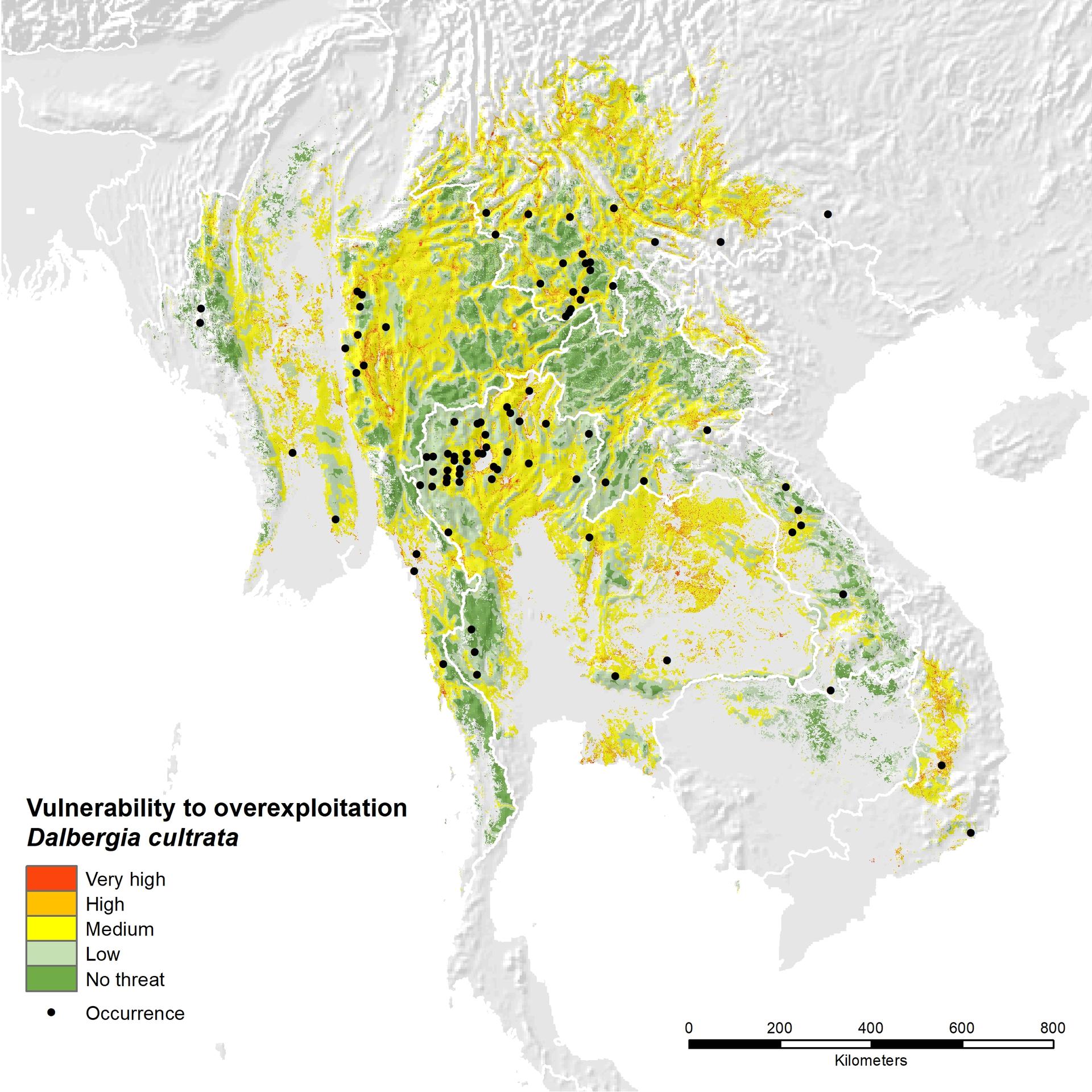
- I mentioned in my introduction that one of my interests is marimba. A lot of marimbas are made of rosewood but with rosewood being close to over exploitation, more marimbas now are synthetic wood. This still led me to looking into GIS of rosewood for my first application:

https://alliancebioversityciat.org/stories/asian-rosewood-trees-face-threats
4. My second application is just for fun. With being in a new place, I have been exploring a lot and transportation systems led me tunnel system
All good. Please feel free to ask any other GIS oriented questions as the semester moves along. The class is about the concepts and software, but there are many broader issues that are worth knowing about (even if we don’t get to them in this particular class).