Chapter 6: Chapter six focused on collaborative mapping as well as putting in data by hand through ArcGIS’s app, which I thought was fun to explore. For me, chapter six was pretty laid. back.
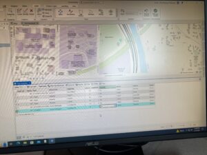
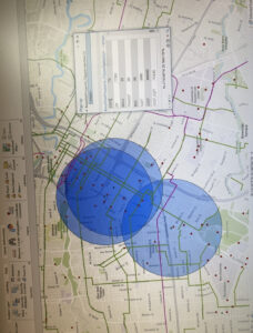
Chapter 7: Chapter 7 was focusing on Houston, TX, and its roads and bike paths throughout the city where we learned how to rematch/correct different addresses as well as use buffers, There weren’t any bugs for me in this chapter either so it was easy to explore different ways to do what the book was teaching us.
 .
. 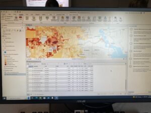
Chapter 8: Chapter eight had a lot of bugs for me which was frustrating, however, it still was a very insightful chapter. It was interesting when I learned how to separate the robbery points by time, similar to when we looked at the health of Illinois over several years. Using kernel density to find relations between the area and its crime rates was also interesting.

Chapter 9: This chapter gave me some trouble in the beginning, but I found out it wasn’t the files it was just user error, and then was able to move past and explore, overall this chapter was very fun in my opinion.
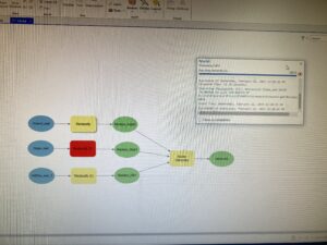
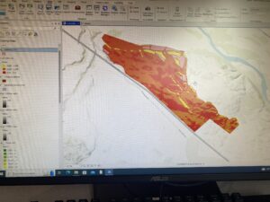
Chapter 10: Chapter ten was fine until exercise 10c where we had to format the two different maps onto a layout and publish it. I didn’t have many problems other than the distance markers, I tried several timesto configure them the way the book wanted and it never came out right, so I moved past that part and published the maps anyways.
