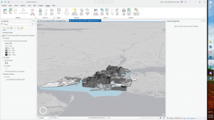
Chapter 1: Introducing ArcGIS
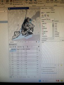
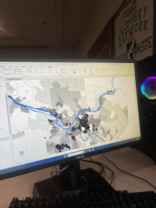
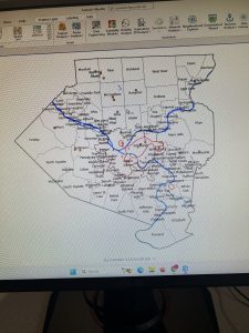
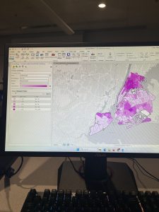
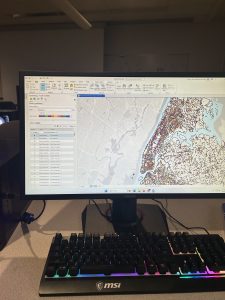
I found Chapter 1 to be really easy as it was just basic stuff that I have seen in other programs. Chapter 1 focused on explaining the basics of the ArcGIS software along with explaining how to navigate maps. Another thing that is shown in the tutorial for Chapter 1 is the introduction of feature classes and how they are displaced on the map and in the software itself and the way that it is ordered. This chapter also looked into how to access the map and the various things you can do within. Then bookmarks were discussed and how they are useful for zooming in and highlighting a specific area of a map so that you don’t have to spend time trying to find it again and is essentially like a shortcut. Going back to the feature classes, this chapter also explains how to label them and how to symbolize them by going over how to rename and choose the symbol and other small details of a feature class. I didn’t have any issues with tutorials 1-1 to 1-4 and overall found it to be very simple and fun. I found the part where you have to change the colors to symbolize feature classes to be fun.
Chapter 2: Map Design
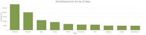
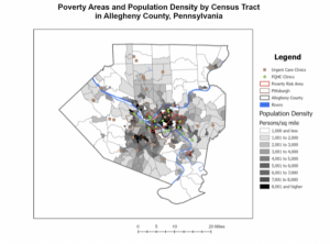
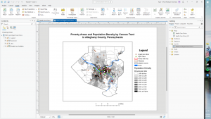
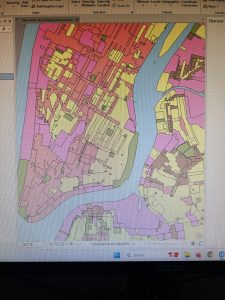
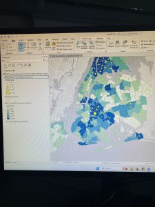
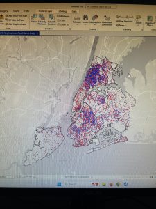
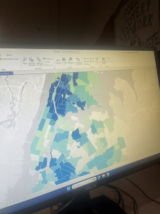
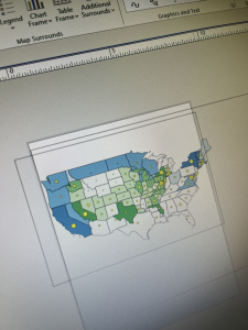
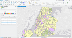
Chapter 2 was also really easy to go through. This chapter further looked at symbolizing maps along with showing how to create other map types. The first few sections of this Chapter focused on symbolizing maps, and gave an extensive look into labeling. Labeling and symbolizing maps is super important because it allows for the map to be more accessible and easy to understand. For labeling this chapter explained how to choose different categories for labeling depending on what you want to be displayed on the map. For example in this chapter it explains how to choose zones for labeling the areas in the city which uses specific zoning codes which allows for easy readability for developers and planners and also makes the map look less cluttered and easier to follow. The following sections of this chapter discussed choropleth maps and dot density maps along with how to display data using graduated and proportional point symbols; this is helpful on a 2D map as it allows you to see different attributes that are in a single layer. Choropleth and dot density maps are both helpful as they visually provide information that you wouldn’t otherwise notice. Overall I found this chapter to be easy to follow and I enjoyed labeling and changing the symbols for the various feature classes.
Chapter 3: Maps for End Users
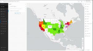
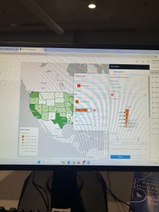
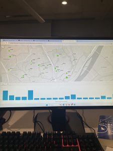
I found chapter 3 to be easy to follow as well. This chapter focused on ArcGIS online along with how to build map layouts and charts. I found building the layout to be the easiest part as it reminded me of using Adobe programs with the guidelines and the overall distribution of where the maps and legends go. Likewise creating the charts reminded me of using other Microsoft programs. The third tutorial in this chapter focused on how to create a story which I assume is basically just a website but it was very interactive and easy to navigate through. It was similar to a program I have used before called Notion with the text blocks and other elements that were available to be used for creating the story page. The final part of this chapter was creating a dashboard. This chapter focused on how to share files and this part also follows that by showing how to create a dashboard which according to the chapter “are visual displays of data feeds in an easy-to-understand format”. Overall this chapter was fun and I enjoyed following the tutorials.