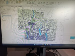
Address point: all the address in the county, freshly published monthly
Annexations: This data is the annexations and boundaries freshly published monthly.
Building Outline 2023: the outline for all structures in the county.updated after new buildings or structures have been erected
Condo: This data is all condos in the county.
E911: can reverse geocode. It is used for emergencies typically and is updated daily, and published monthly.
GPS: highlights all GPS monuments in the county that were established between 1991-1997.
MSAG: It consists of 28 political jurisdictions and was created to help facilitate the process of locating the county’s boundaries.
Municipality: This is all of the municipalities in the county.
Parcel: Polygons that are all cadastral parcel lines in the county. maintained by the county GIS office/are stored in the recorder’s office.
Precinct: This is the voting precincts of the county.
Recorded Document: Points representing recorded documents in a number of county records
School District: This is all the school districts in the county
Street Centerline: Location Based Response System centerlines are the center of pavement on roads in the county.
Subdivision: This is all subdivisions and condos in the county.
Survey: A shapefile of point coverage representing surveys of land.
Tax District: This is all tax districts and has been defined by the Real Estate Office