4.1 – Figured out different ways of importing and to move data on GIS pro. I was not unable to figure out how to set up a folder connection, but the rest of the steps made sense.
4.2 – I was able to learn more information about modifying attribute tables, along with using the fields view. All the steps made sense, but the expression with the population under 20 was not showing up.
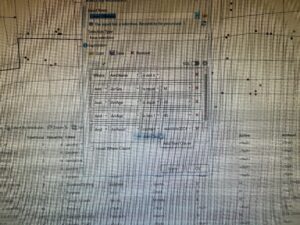
4.3 – Was able to work more with the attribute queries, as I was able to narrow down the specific data. It was really cool to narrow down the crime data to one individual.
4.4 – A relatively quick and easy chapter. Continued to mess with attribute tables, and reused some steps from the first part of the book.
4.5 – Continued to learn new items for the tool box. I was once again able to mess with the symbology tool as well.
4.6 – Another short chapter, I was able to work more with attribute tables. I was not able to figure out how to make a one-to-many join section.
5.1 – Was able to figure out how to change the type of world map. Pretty easy to understand.
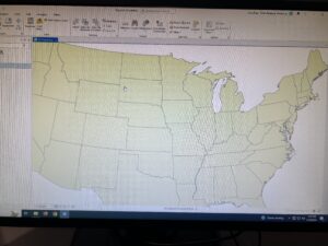
5.2 – Pretty much the same concept as 5.1, but working with US maps.
5.3 – Worked on adding new layers to a given coordinate system, along with changing coordinate systems. Overall a cool process.
5.4 – Was able to figure out the vector data donat section, which was similar to 5.3. I need to relearn working with the symbology a bit more.
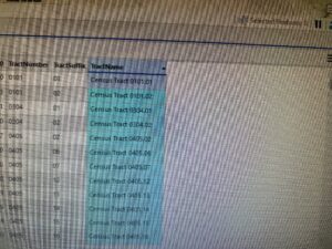
5.5 – This section was quite complicated and took a while to figure out. I was unable to find/import the three consensus shape files, which limited me for doing the rest of the section.
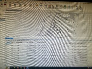
5.6 – I am not going to lie, none of this section worked for me. I think I am running into the problem that the data is not downloading to the proper source, in which I am not able to complete the section.
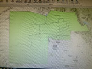
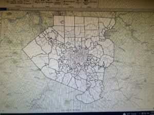
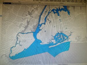
6.1 – I was able to dissolve certain features to show smaller neighborhoods. This section made sense and was easy to follow.
6.2 – I knew what this section wanted me to do, which was to combine the neighborhood and the streets within the given neighborhood. However, the directions were quite confusing, and I was not able to get the final product.
6.3 – Quite an easy process of using the merge tool to merge water features.
6.4 – Really did not understand the purpose of the append tool. However, the directions were fairly simple, as it seemed like I added more specific data to the attribute table.
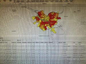
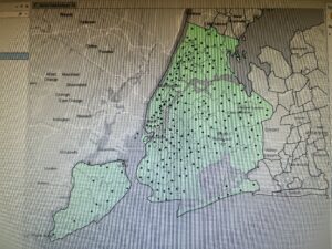
6.5 – Was able to intersect features to help figure out the fire zones. The overall process was easy to follow.
6.6 – Was able to summarize certain values in neighborhoods in the Brooklyn area, which was quite interesting. Finally figured out how to use the join tables tool.
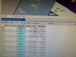
6.7 – Another straightforward section. Was able to use the tabulate intersection tool to compare numbers of disabled people in different fire zones.
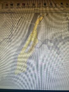
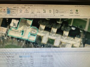
7.1 – Was able to mess with editing polygons, whether it was changing their shape, or splitting them. Overall an easy and cool section.
7.2 – Also a very easy section to understand. I was successfully able to create and delete certain polygons.
7.3 – The smooth polygon tool is not only easy, but very satisfying to use.
7.4 – This section focused on transforming polygons. It took a lot of steps to accomplish this, but I did get the right result.
8.1 – Started the basics on geocoding, which mainly uses zip codes as data. The overall process was fairly easy to follow.
8.2 – Did more geocoding, but with street addresses instead. Also a straightforward section.