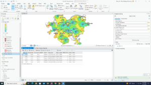
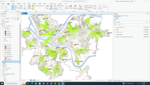
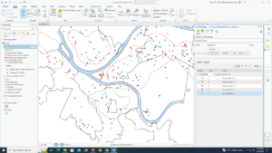
9.1 – I thought we had learned how to use the buffer tool before, maybe I just remember reading about it or just seeing it in a different chapter’s tutorial.
9.2 – I think this section is really cool. It’s really helpful to be able to select within a buffer to help narrow down data more.
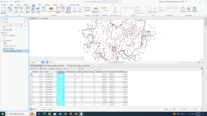
- I don’t think i was able to do the section section of this tutorial properly, I was not able to find the output fields or merge rule part of the spatial join tool, I did my best to find what seemed equivalent but it does not look right
9.3 – My Polygons_Tags_Pop attribute able did not have a name section, so I did what I could following it but my stuff is a little wanky.
9.4 – This section was the easiest to do because the book actually was following along nicely with the software. I also think it is cool that we can locate facilities so easily.
9.5 – I think knowing how to analyze and use clusters will be very helpful in the future of my GIS career.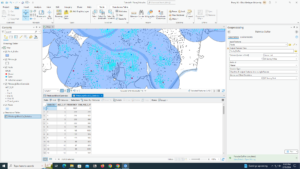
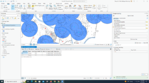
10.1 – I really enjoyed this section, it’s cool to be able to create stereotypical features I used to think of when I thought about mapping.
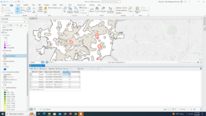
10.2 – When I ran my symbology pane for heart attack density it didn’t stay within the area and went to the whole map and I am not sure why.
10.3 – I was not able to get multiple parts of this section to work, and the sections followed off of each other so I was not able to complete the entire section.
- My FHHChildren field was not able to be made correctly
- I could not calculate ZFHHCHld = (!FHHChildren! – 45.2) / 66.8 because it said FHHChildren did not exist
- the kernel density tool would not drag into multiple areas on my screen, and because of that I was not able to complete the rest of this section
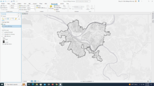
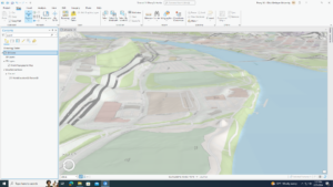
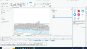
11.1 – This section was fun to play around with, 3d renditions are really cool and I’m excited to work with them now
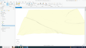
11.2 – I don’t really understand the difference between local view and global view.
- I followed the directions for the symbology and it didn’t look the same
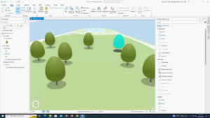
11.3 – I think the trees are cute and I will like putting 3d objects in later projects
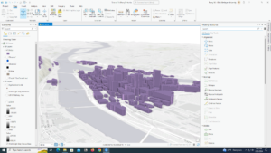
11.4 – This section was challenging in a good way, it was rewarding to see my buildings pop up.
11.5 – Using scale is more simple than I thought it would be.
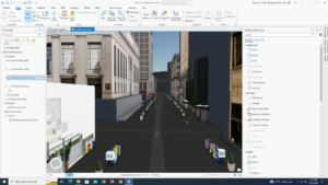
11.6 – Creating the building was interesting, but I feel like turning on a street layer just to see planters was sort of pointless.
11.7 – This section was the most interesting from the book – I had no clue GIS could be used for things like this.
