Chapter 9
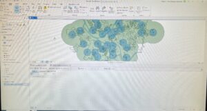
9-1 This tutorial was fairly simple and straightforward. I was glad that I was successfully able to add the buffers and tables in this tutorial since I had issues with it in some of the previous tutorials.
9-2 I had no issues with the first half of the tutorial. I think the multiple ring buffers were easy to apply and seemed to cut down the amount of work you’d have to do to create multiple buffers of varying distances from the same subject. However, when using the Spatial Join tool I was unable to find the ‘output fields’ option, which meant the results of running the tool were not what I was supposed to get.
9-3 Once again, the first half of the tutorial went smoothly but I ended up stuck at the same point as in tutorial 9-2. I retried several times to use the Spatial Join tools, following the instructions on the book, but I was never provided with an option to ‘output fields’ and therefore also not a ‘merge rule’ setting. I compared my screen to ones online and mine was missing an entire input box, which was supposed to be located under the fields category.
9-4 This tutorial went pretty quickly and was easy to understand the process of. The end results look professional and clean, so I could see it being used for many different types of projects.
9-5 I was able to do this tutorial without many issues. I think the clusters and labeling groups is pretty similar to processes that were in previous tutorials. It also seems like it could be a pretty good tool to know how to use in the future.


Chapter 10
10-1 This tutorial was lengthy but easy for me to understand, despite the initial tutorial screen being a bit overwhelming at first. I was able to follow along all the different parts and think that the book did a great job of teaching how to use many different tools and visual effects in a singular tutorial.
10-2 Similar to 10-1, I think this tutorial was fairly easy to follow. I did get a little lost with the purpose of some of these tools or what they meant, but I’m sure that I’d be able to gain understanding by looking through the tutorial again.
10-3 I encountered one issue when doing the ‘calculate field’ option for the PittsburghBlkGroups table, as it sent me a warning sign after I ran it and left the ZFHHChld column as all ‘null’. I believe it may have been an issue with entering the information below the Fields List, but I’m not sure how I’d fix it. However, this didn’t seem to impact the rest of this tutorial because I was able to follow the rest of the directions smoothly. I think it was a good introduction to the complex ModeBuilder tool, which seems very useful.


Chapter 11
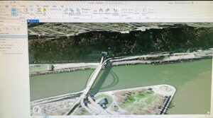
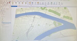
11-1 This tutorial helped me learn how to navigate the map in a 3-D view, which was really neat to look at. It was a fairly short and simple tutorial.
11-2 I also didn’t run into any major issues for this tutorial. Once again I find the 3-D maps entertaining, and this one only being a manipulable slice of land was fun to work with.
11-3 This tutorial was also short and simple. The ability to add 3-D features is both cool and useful, along with being relatively simple to implement. I could see using this for planning placement of objects or for visualization purposes on the map.
11-4 This tutorial took a bit longer than the other ones from chapter 11, but it also held a lot of information about using and manipulating rasters and 3-D models of buildings. It was very cool to see the model build itself up and the city unfold from a dataset. I didn’t have any major issues or concerns when completing this tutorial.
11-5 I didn’t have any issues with this tutorial and was able to understand it pretty well. I think the slider feature to navigate between floors was probably my favorite feature highlighted in this tutorial, but I can see how visually interesting and useful all the other parts of this tutorial are too.
11-6 The only issue I had with this tutorial was that my building was stuck appearing very short (it looked like the roof was the first and only floor) despite typing in the settings exactly as the book said. Everything else both appeared and functioned properly and the building manipulation features are pretty interesting. Before doing this chapter I was unaware that ArcGIS had this many options for building appearance and placement.
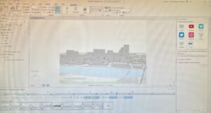
11-7 The animation and movie feature is very cool- it’s something that I never would have expected to be able to do directly in the GIS program. The animation was also surprisingly smooth between frames (I was expecting a slideshow) and very easy to create.


