Chapter 4:
- Tutorial 4-1: introduction to working with file geodatabases
- Tutorial 4-2: Messed up what I removed from the contents pane. Attempted to go back to fix this mistake, but it doesn’t seem like an easy fix
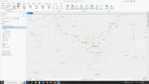
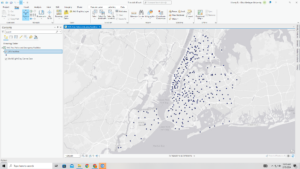
- Tutorial 4-3: three primary kinds of attribute queries
- Most fundamental type: addresses the what and when. Often combines several crime types with the use of logical operators
- Secondary type: adds criteria such as time of day or day of the week
- Third type: adds criteria based on the attributes of the people or the objects
- SQL button: SQL shows the criteria that the query builder built
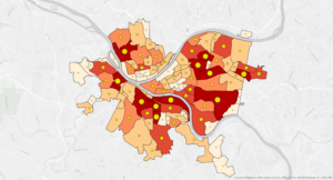
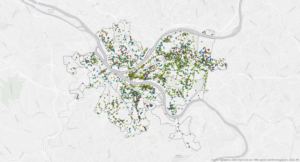
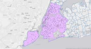
- Tutorial 4-4: introduction to aggregating data with spatial joins
- Tutorial 4-5: using central point features for polygons
- Tutorial 4-6:creating a new table for one-to-many join
Chapter 5:
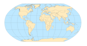
- Tutorial 5-1: my coordinates were 17oW, 14oN for the western most tip of Africa. Country Senegal. Worked with world map projections
- The network of lines on the map is called graticule and it has 30-degree intervals east-west and north-south
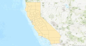
- Tutorial 5-2: worked with US map projections
- Tutorial 5-3: set projected coordinate systems
- Tutorial 5-4: worked with vector data formats
- Shapefile extensions: .shp, .dbf, .shx
- Shapefile extensions: .shp, .dbf, .shx
- Tutorial 5-5:
- https://www.census.gov/cgi-bin/geo/shapefiles/index.php?year=2020&layergroup=County+Subdivisions
- https://data.census.gov/
- Code for male: S0801_C02_011E, Column EG
- Code for female: S0801_C03_011E, Column IQ
- Tutorial five simply is not working the way that it says it’s supposed to be. I’ve been running into so many issues with it.
- Tutorial 5:6 I was not able to complete this section because https://apps.nationalmap.gov/downloader/ was having a “national outage” or something like that when I tried to access the data
Chapter 6:
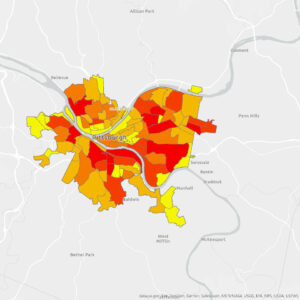
- Tutorial 6-1: dissolving features to create neighborhoods and fire divisions and battalions
- Tutorial 6-2: extracting and clipping features for a study area
- Tutorial 6-3: merging water features
- Tutorial 6-4: appending firehouses and police stations to ems facilities
- Tutorial 6-5: the “your turn” section data joining deal was not data joining dealing aka not working.
- Tutorial 6-6: using union on neighboring and land-use features
- Tutorial 6-7: using the tabulate intersection tool
Chapter 7
- Tutorial 7-1: edited polygon features
- Tutorial 7-2: created and deleted polygon features. The your turn section was not your turning aka not working
- Tutorial 7-3: used cartography tools
- Tutorial 7-4: transformed feature
Chapter 8
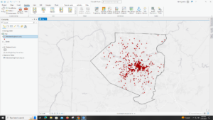
- Tutorial 8-1: geocoded data using zip codes
- Tutorial 8-2: geocoded street addresses