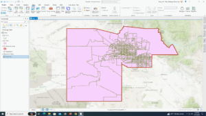
4.1 – My youth population gbp did not have a tracks feature class in it but it had cities and PopYouth so I just finished the tutorial using only those two.
4.2 – I don’t like how objectID is also known as fid, it was confusing. Also, my attribute table also did not look like how the book showed.
4.3 – This section was really hard for me to understand, I feel like it took me way longer than it should have.
4.4 – I liked this tutorial because I feel like this will be good to know in the future.
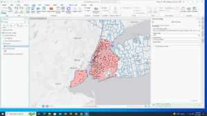
4.5 – I also liked this tutorial because it will be nice to know in the future. I also find graduated symbols interesting so it was fun to see a new way to use them.
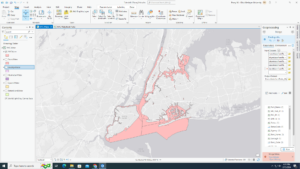
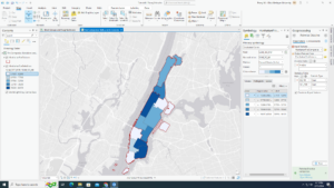
4.6 – This section was interesting because I had to apply my knowledge from the first part of the chapter and it was fun to see what I am able to do with loose instruction.
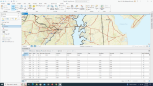
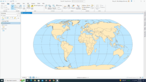
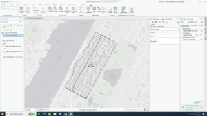
5.1 – It was interesting to see the different map projections that are used.
5.2 – This section feels like 5.1, it was also interesting for the same reason.
5.3 – I liked getting out of the GIS software and going back to the arcgis.com to learn new ways to utilize the website within the software. However, a lot of this section was redundant with just having to check which coordinate system a lot of the different layers were using.
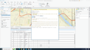
5.4 – In the contents pane, there was no right click option for Display XY data, instead, i had to use XY Table To Point in Geoprocessing to get the same results
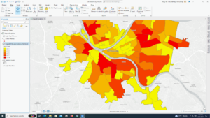
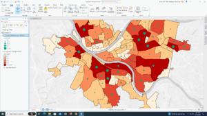
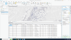
5.5 – Column JK is “Estimate!!Female!!Workers16yearsandover!!PLACE OF WORK!!Not living in a place – column EG was the right column
- Column SE was not the right one for female, IQ
- I did up until Join data and create a choropleth map. I could not for the life of me figure out how to export the data into Chapter5.gdb and was not able to continue through the section because of that
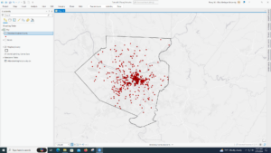
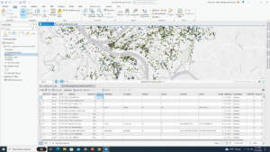
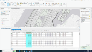
5.6 – After downloading the data for Bicycle Count, and converting to points, it says that there is an error for every data point and it won’t let me create a graduated symbol layer because of it.
6.1 – This section is cool because it combines stuff from previous chapters while adding new details to them.
6.2 – I like the select by location filter, it was really fun to use.
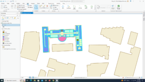
6.3 – The Merge feature tool is really easy to use, but I had a hard time finding it at first and tried to use the wrong Merge tool.
6.4 – I feel the same way about 6.4 that I do about 6.3. The Append tool really easy to use, but it was hard to find due to the kinds of append tools.
6.5 – It was cool to see a new type of tool, however, I don’t know in what other context I would be able to use this tool.
6.6 – This section was interesting, but my Calculate Geometry Attributes tool settings didn’t line up with what the book was saying, but it was close enough where I was able to still figure it out.
6.7 – I feel like a lot of these sections are doing the same thing, I know they aren’t, however, all of the tools are getting conjoined in my head because of how similar they are and I will have to go back in the book to differentiate between them.
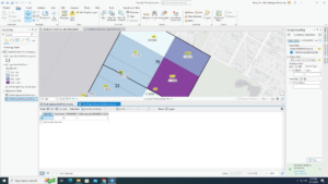
7.1 – I really like the move feature. It’s cool how you are able to just pick up a polygon.
7.2 – I also liked this section, it was it was simple but definitely useful information to know
7.3 – Smoother features tool adds a better appearance to the map and it is fun to do. However, I don’t like how it makes a new feature instead of just changing the original one.
7.4 – I have used AutoCAD in the past, and it was interesting to see how it can be used inside of ArcGIS.

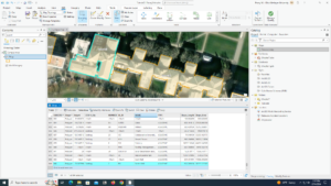
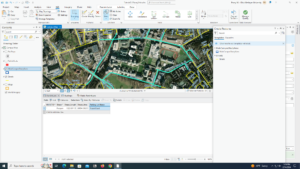
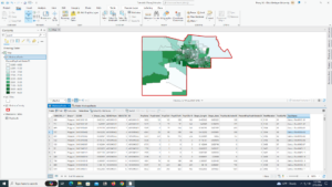
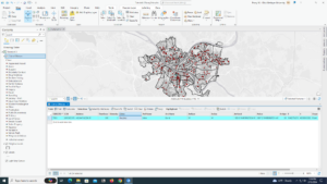
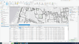
8.1 – This section was interesting to see and do because of the amount of data points that it has, it was cool to sort and fix zip codes.
8.2 – I feel similarly about this section and 8.1, it was fun to play around with the different address points.