Zip Code-contains all zip codes within Delaware County
Recorded Document-points that represent recorded documents in the Delaware County
School District-consists of all school districts within Delaware County
Map Sheet– consists of all map sheets within Delaware County
Farm Lot-consists of all the farmlots in both the US Military and the Virginia Military Survey Districts of Delaware County
Township– identify township lines.
Street Centerline-Centerlines depict center of pavement of public and private roads within Delaware County
Annexation-contains Delaware County’s annexations and conforming boundaries from 1853 to present
Condo-consists of all condominium polygons within Delaware County, Ohio
Subdivision– consists of all subdivisions and condos recorded in the Delaware County Recorder’s office
Survey-points represent the location of the survey plat
Dedicated ROW- all dedicated road right of way polygons in Delaware County
Tax District– all tax districts within Delaware County
GPS– GPS monuments that were established in 1991 and 1997
Original Township– original boundaries of the townships in Delaware County
Hydrology– major waterways within Delaware County
Precinct – Precincts are polygons that determine each voting precinct boundaries in Delaware County
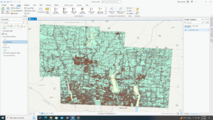
Parcel– Parcels within Delaware County
PLSS– consists of polygons depicting the boundaries of the two public land survey districts within Delaware County
Address Point– has addresses for Delaware county
Building Outline– consists of building outlines for all structures in Delaware County
Delaware County Contours– 2018 Two Foot Contours for Delaware County