Chapter 6:
For me Chapter 6 was a bit confusing, I first did not really realize that there is a link between ARCPro and ARCOnline. I certainly didn’t realize that the maps created in ARCPro are able to be viewed in the Online ARC app. When I got to the online part I was not able to view my work in my Online account. This is probably because I did not link it correctly and or was not signed into the account on the desktop. I am not sure why there was no link after the second time because I made sure I was logged in. I still was unable to view the map in my Online account so I had to move on.
Chapter 7:
While making this map here I was not able to download the Roads file, but I shortly realized that there was already a road feature in the map. This feature was already built into the map so the Road connection file was not needed for this part of the chapter. The Create locator image shows that there was no road link, just street address. This means the roads are already there and in the attribute table there are already general street addresses linked to the road file.
Chapter 8:
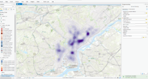
Here in Chapter 8 we had to create a working animation map on the violence in Philly. We created a 3d map of where the high risk areas are throughout the city. Instead of making a graduated color map we put the map on its side and show the data through height of “towers” These columns that are shown in the map show the number of thefts in the area and if the column is higher than the one next to it then in that specific area there has been more theft and violence.
Chapter 9:
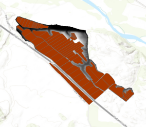
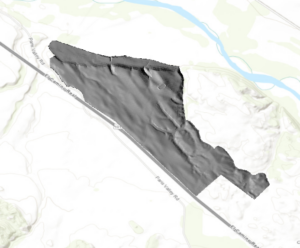
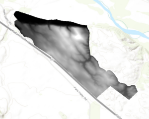
Chapter 9 was I think the longest chapter of them all solely based on the sheer amount of maps that we had to create. We had many different layers in our map that showed many different things. We made an elevation map, a vineyard plot map and two hillshades one with a set sun and one from the camera. In ARCPro we were able to create our own shade because there is a function that lets you choose azimuth and altitude of the sun. This will affect the look of the map because the location of the sun is being changed. The only issue that I had with this chapter was that I was unable to run the suitability part of the lab. Even though I was unable to do the last part of the chapter I felt that I learned and reinforces my skills with elevation, hillshade and plot maps.
Chapter 10:
Chapter 10 was a little choppy for me because I really wanted to finish the chapter but after a couple of times of running the function I was just unable to finish it. I got the first part of the map done with the wifi strength throughout the area. Once I got to the last section I tried to run the function 3-4 times but there was no change or adaptation to the map. The legend and scale part of the chapter was very simple because I have done so many of them before just learning where the button is in ARCPro was nice to find out because the location of that feature changed.


