Chapter 1:
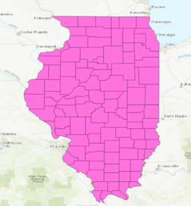
No button to expand outline or to enable outline or turn it off
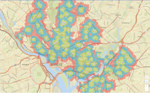
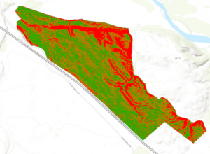
Due to this, I just turned off the outline color for the School Walking breaks
No specific fill tab to color, I just picked red like they asked (lame, bottom tier color).
No clustering tab in content pane, had to click aggregation tab to find clustering
Chapter 2:
Catalog pane is a small icon hiding at the top with geoprocessing and full extent
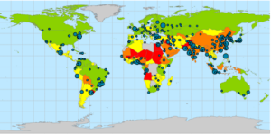
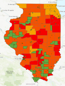
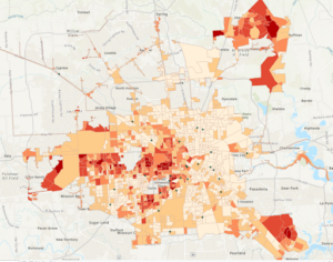
Unimportant to the technicalities of the exercise, but it is interesting how the heavy air pollution centers of the U.S. like in Southern California and on the upper east coast get balanced out by the less polluted urban areas to make the U.S. have less than 40 PM concentrations. I would assume the U.S. to not be in such a decent standing by PM concentrations.

Chapter 3:
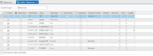
Us_cnty_enc.shp attribute table was not able to be opened
Export features did not have separate output location and output name categories, only one category for output named output feature class
I just ran it in the default output location with no fancy name
Important note: any mention of the attribute tab is talking about the feature layer tab

Chapter 4:

Literally isnt a domain column in the WaterLines attribute table grrrrrrrrrrrr
Chapter 5:


Chapter 6:

Chapter 7:
Exercise 7b number 8: candidate A is not 2407 Southmore, Houston, TX, 77004
In fact this address simply is not even in the unmatched category like was requested

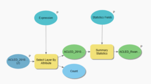
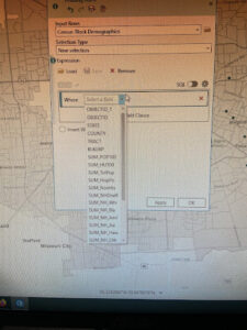
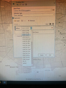
Page 264: the expression Median_HHI is greater than 63250 was not able to be made because Median_HHI was not an option on the initial input for the expression
Chapter 8:
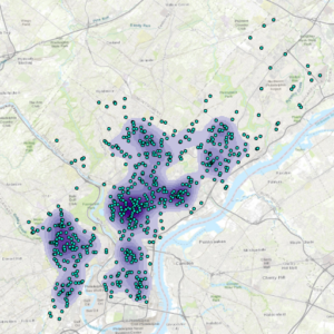
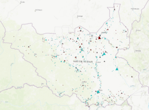
After running the Optimized Hotspot Analysis tool, my map had many grids with empty data after many attempts at rerunning it and making sure the data imputed was the correct ones

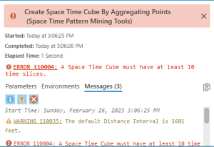
Then, the Create Space Time Cube By Aggregating Points tool would not run, gave me this error (probably based on the above problem)
Chapter 9:
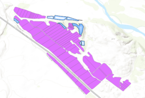
Planting_sites did not have an option for hollow fill in the symbology so I just used gradient fill instead
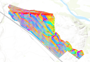
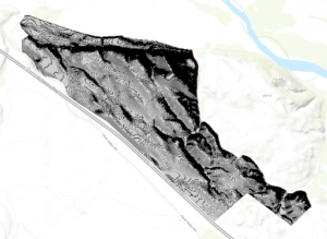
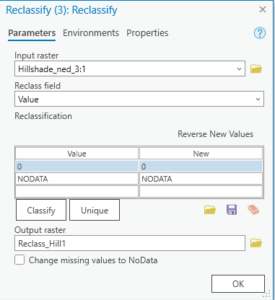
The third reclassify tool with Hillshade_ned_3 did not have any values, nor any start or end columns to enter data into
Chapter 10:
By the way I did realize how to adjust the transparency of layers, forgot it was under feature layer whoops

adjusting the position of the layers on the paper was difficult i just did my best to make it look at neat as possible without messing everything up