Chapter 6:
6A. Set up a domain, set up a feature class fields, symbolize features, publish features
– tree inventory shared file in “TreeInventory3” :/
6B. create a map, set up additional data display options, share a map & 6C. start ArcGIS collector, collect a tree location and enter the data, view the map in arcGIS pro.
-finished the map on my phone onto chapter 7 🙂
Chapter 7:
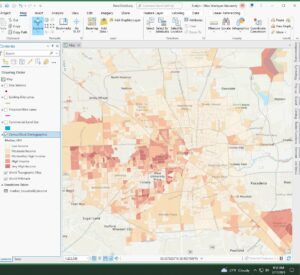
7A. Join a table, symbolize using graduated colors
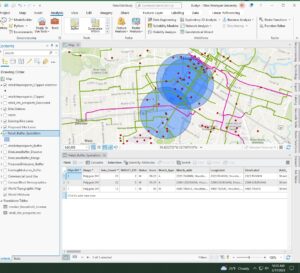
7B. Create an address locator, Geo code addresses, Rematch Addresses & 7C. Create buffers, Merge and dissolve features, Clip Features, Select by attribute and location, Create a spatial join
Chapter 8:
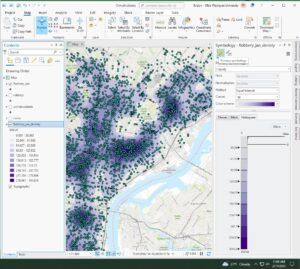
8A. Select by attribute, Create a kernel density
The data did not transfer properly so for steps 10-15 the steps had to be modified so that the layer could be created and the kernel density could be created.
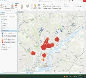
8B. Run the Optimized Hot Spot Analysis Tool, Create a space-time cube, Visualize a space-time cube, Run the Emerging Hot spot analysis tool.
8C. Switch to a local view, change 3D visualization styling & 8D. enable time, animate using the Time slider, Animate using the range slider
Chapter 9:
9A. convert a line feature to a polygon feature, clip rester layers, merge rasters
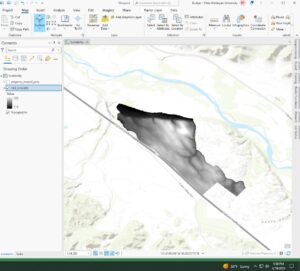
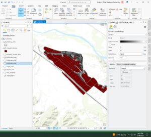
9B. Derive an aspect surface, derive a slope surface, Derive a hill shade surface, Visually compare analysis outputs,
- nothing is completely in shadow right now.
- 4 planting sites have mostly low slope topology
- one planting site has some land facing either south, southwest, or southeast.
- none of the planting sites are in shade at this time
- yes we can identify planting sites that would have enough sunlight in the afternoon and would be best
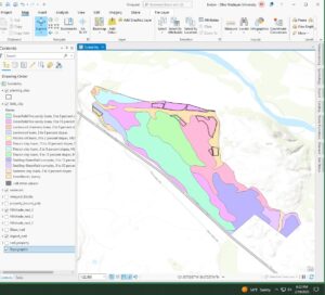
9C. reclassify criteria rasters, combine criteria rasters.
- Greenfield fine sandy loam soil from 9-15% slopes, xerorthents and loamy soil, and rincon clay loam soil with 15-30% slopes
- some potential sites have been planted
Chapter 10:
10A. create a definition query, fine tune the symbology, apply symbol layer drawing
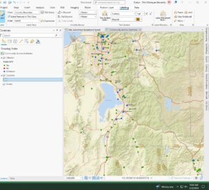
- There are 3 areas of fixed wireless technology
10B. label features using the Maplex label engine
10C. add a layout to the project, insert map frames, insert a legend element, insert a scale bar, insert a north arrow, insert dynamic text, a title and rectangles

10D. export a layout to a PDF file, save a layout file, package and share a project template.
I finished!!