- Zip code: This dataset contains all zipcodes within Delaware County, Ohio. These zip codes were carefully evaluated in 2003 and cleaned up based on the Census Bureau’s zip code file from the 2000 census.
- Recorded Documents: This dataset contains points that represent recorded documents in the Delaware County Recorder’s Plat Books, Cabinet/Slides, and Instrument Records.
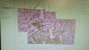
- Farm Lot: This dataset contains all the farm lots in the US Military and the Virginia Military Survey Districts of Delaware.
- Township: This dataset contains 19 different townships that make up Delaware County.
- Street Centerline: This dataset contains the data on the center of pavement of public and private roads within Delaware County. It intends to support appraisal mapping, 911 emergency response, accident reporting, geocoding, etc.
- Annexation: This dataset contains Delaware County annexations and conforming boundaries from 1853 to the present.
- Condo: This dataset contains all condominium polygons within Delaware County, OH.
- Subdivision: This dataset contains all subdivisions and condos recorded in the Delaware County Recorder’s Office.
- Survey: Survey points is a shapefile of a point coverage that represents surveys of land within Delaware County.
- Dedicated ROW: This dataset contains all lines that are designated Right-of-Way within Delaware County, OH. This data is line data that is created through the daily updates of Delaware County’s Parcel Data.
- Tax District: This dataset contains all the tax districts within Delaware County, OH.
- GPS: This dataset identifies all GPS monuments that were established in 1991 and 1997. It is updated based on need and published monthly.
- Original Township: This dataset contains the original boundaries of all the townships in Delaware County, OH.
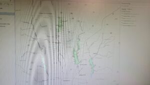
- Hydrology: This dataset contains all the major waterways within Delaware County, OH.
- Parcel: This dataset consists of all Parcels within Delaware County, OH.
- PLSS: This dataset contains polygons depicting the boundaries of the two public land survey districts within Delaware County, OH.
- MSAG: This dataset contains the boundaries of the 28 different political jurisdictions, such as townships, cities, and villages that make up Delaware, OH.
- Municipality: This dataset contains all municipal boundaries in Delaware County, OH.
- Address Point: This data is maintained by the Delaware County Auditor’s GIS Office. This dataset represents all certified addresses in Delaware County. OH.
- Building Outline: This dataset contains building outlines for all the structures in Delaware County, OH. It was last updated in 2018.