Hi Krygier! You already know who I am from last semester, but my name is Jacob DeMaggio and I am a freshman here from Saint Louis, Missouri. I am an Environmental Science major r (possibly a double major in Zoology) and additionally a Spanish minor.
When reading Schuurman ch. 1 I thought it was very insightful how at the beginning of the chapter the author addresses the matter that GIS has multiple identities based on who the user is and what questions they’re asking. To me, it not only showed how GIS can have multiple different “identities” but also how there is no exact way to pinpoint a definition of GIS that everyone will agree upon. Additionally, I found it interesting when there was a brief discussion on what spatial analysis is and how it differs from mapping and GIS, how it extracts more data and information than can be gleaned by map data. I specifically find this interesting because I would always think that spatial analysis would be the same as mapping data. I also find it interesting that there were multiple different people, from multiple different areas (the U.S., Canada, and the UK) and how many people believed that the development of GIS was inevitable. It started to make me think about how our world today would be different if we didn’t have GIS, and it made me realize how much we use it on a daily basis in our cars every day, and for us to not have had that would have made everyone’s lives so much worse, which showed me how grateful I am to be in a time where GIS does exist. On page 7 the author quotes someone that uses an analogy of GIS and a calculator and helped make more sense of GIS. The analogy was that both are fairly straightforward and clear-cut as to what they do, but you have to understand all of their functions and intricacies of them before being able to effectively use them. It also has been shown throughout the reading that it is evident that there is a difference between the quantitative implications of GIS as well as the cartographic implications of GIS and also the relationship between the two of them.
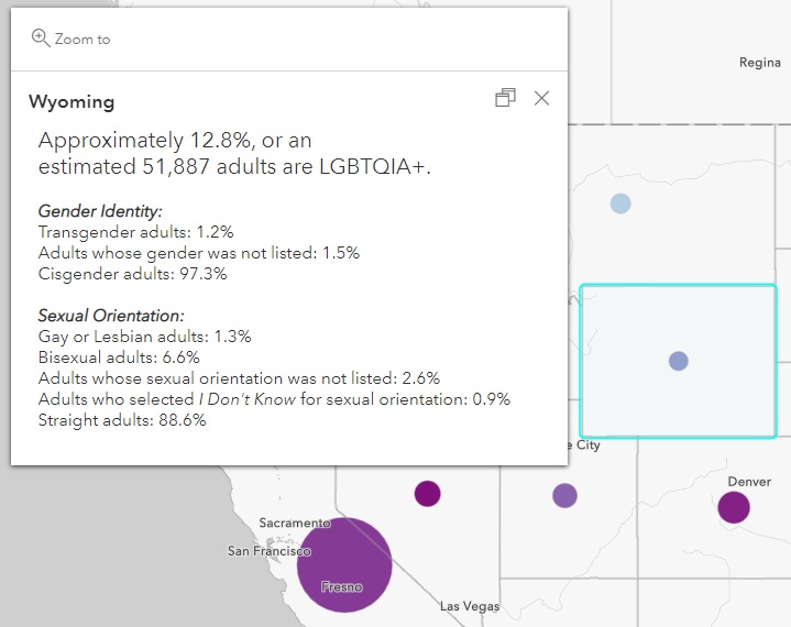
When looking for GIS applications, I looked at the application for members of the LGBTQ community, and it discussed how with GIS we are able to make relationships between sexuality, place, and space. It goes deeper into how “queer space transgresses the normative and challenges (hetero)sexualized space”. Another GIS application I looked at was for crime-related GIS applications and I found that you can us GIS to create a map that can identify where the crimes are occurring and clarify what crimes are or are not related based on your research, which in turn can allow investigators to target their efforts and line officers to patrol and respond to locations while being more fully aware.
Sources:
https://community.esri.com/t5/conservation-gis/why-should-gis-matter-to-queer-people/ba-p/1011618
https://www.esri.com/content/dam/esrisites/sitecore-archive/Files/Pdfs/library/brochures/pdfs/crime-analysis.pdf
all cool. the queer-gis is kind of new, but not really: https://www.atlasobscura.com/articles/queer-history-london-public-loos