Chapter 5
Chapter five covers caching and on-premises Web GIS. Different types of map layers are used to help web maps work better. ArcGIS Enterprise is a platform that allows for creating, managing, analyzing, and sharing geographic information among organizations. By using ArcGIS Enterprise, GIS data is managed through organization servers. Raster and vector tile layers were covered again. Each layer has advantages. In the practice, I connected ArcGIS to a portal for publishing layers. I compared different titles and learned to understand how caching helps maps load faster. Choosing the correct layer type is important because it affects the perforation and the interaction of the maps. How does an organization decide if they are going to use ArcGIS Online or ArcGIS Enterprise?
Chapter 6
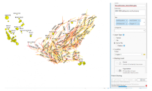
In chapter six there was a focus on maps and spatial data being used for real-world applications and patterns to make decisions. I followed the practice to explore geographic information and watched the layers work together. One question I have is how these tools can be used to analyze more complicated problems. When all of the information comes from different sources, how do they determine which is accurate?
An application I could use this for is showing a real-time traffic map. For example, right now my route to school is shut down and I have to use an alternate route. Many other people treaveling from Morrow County to Delaware are in the same dilemma. By using the information and inputs from other people I could have a real-time map to plan my commute better. This would be similar to how GPS shows roads in red that are backed up.