T: 1-1 Introductions
Saving Project Name
Project (next to map,insert, analysis, etc tab) → save project as
Name Tutorial number Name.aprx
Displaying a Map
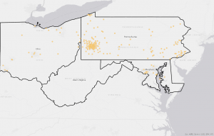
Bookmarks→map of choice
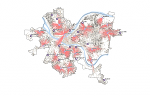
Basemaps
Basemaps = layers for what you wish to represent (rivers, topography, etc)
Contents Pane
View + Pane = select contents
Contents = selector for what layers you wish to eliminate and keep
Catalog Pane
View tab → windows group → Catalog Pane
Allows for easy access to all project components
Export Layer tool
Share tab (after project, map, insert, etc under the logo in left top corner) → export layer
Saving Images
- On the File Type drop-down menu, click PNG.
- For Name, click the Browse button, browse to save the file to your top, and rename it FQHCAndUrgentCareClinics.png.
- For Resolution, type 150.
- On the Color Depth drop-down menu, click 24-bit True Color.
- Click Export to run the tool.
T: 1-2 Navigating Map Display
Navigation of Map
Map tab→full extent→explore button = center map/info on features
Bottom right buttons do things
Wheel button Zooms in
Map Back button
Map tab→Navigate→ arrows
Turing all Feature classes on/off = ctrl on press hold + check box click = on/off for all
Bookmarks
Bookmarks = zooms to thing you select
Creating new bookmarks = bookmarks (navigate) + new bookmark + name
Manage bookmarks = bookmarks (navigate) + manage bookmarks
Selecting Attributes data = Right clicking + attribute table + select by attribute = where + Name + is equal to + location