Chapter 4 – Chapter 4 was pretty in depth with databases in general such as spatial databases. I learned how to import different types of data into those geodatabases and how to modify tables and fields of different maps. This chapter also helped me learn how to calculate fields and join tables. You get an introduction into SQL criteria and how to do work with those attributes as well. This chapter is really good for data organization for things such as projects or data keeping. It can also be good for different kinds of research or analysis.
Chapter 5 – This chapter focused a lot more on world maps and their different projections. Specifically US world maps and working with different coordinate systems. Some of the specific things I learned had to do with vector data formatting and tabular data to explore lots of different spatial data like we did in chapter 4. This chapter is important for mapping specific locations for a variety of different reasons. It can be good for plenty of different jobs and people needing it for different roles.
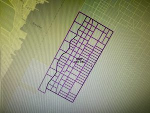
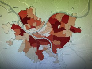
Chapter 6 – Chapter 6 really dives into the concept of geoprocessing. You learn a lot about block group polygons and how to create different things on the map such as neighborhoods and other divisions. You can create study areas on one specific area such as extracting a neighborhood and using the attributes to gain knowledge on that one area. You also learn to merge areas together to make one big map of several different things and how to divide things into different layers. This chapter can really be useful when trying to do different tasks in the geographic data world.