CHAP 7:
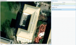
- Shows us how to edit polygons, adding or subtracting features deleting and tracing them
- Shows us how to use cartography tools to smooth features
- How to export a CAD drawing

CHAP 8:
- Talks about geocoding
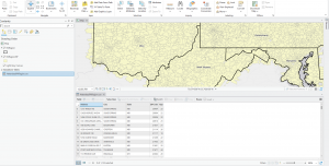
- shows us how to use ZIP locators to find Zip codes and then how to geocode them
- Shows us how to rematch data
- Also shows similar traits for street address stuff

CHAP 9:
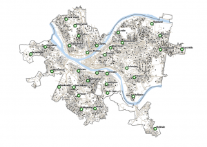
- Shows us how to turn buffers into pairwise buffers, removing the overlapping lines
- Shows us how to build centroids to buffers
- Shows how to make multiring buffers
- Allows us to make a “clipping group” of sorts with buffers
- Allows us to make “pools”, shows us how to make scatterplots,
- shows us how to table data cluster data
