Ch 7:
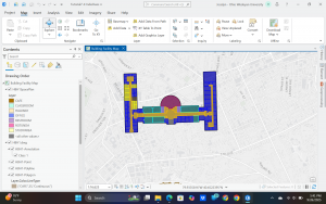
I learned how to create and edit features on the map. I added vortex points for bus stops and rotated building polygons. The editing tools made it, so I realize how flexible GIS is for changing features.
Ch8:
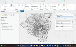
I learned about geocoding which is what connects data tables to map locations using addresses. I struggled with the locator. I rematched some of the addresses and used graduated symbols to symbolize results. I struggled with aligning the records and this showed me that even with slightly inexact results the system is still very helpful in the big picture.
Ch 9:
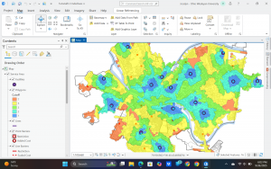
I used spatial analysis tools like buffers and clustering in this chapter. I made a buffer around pools and then with that information found that most kids live within that radius. I used service-area maps, scatterplots, and cluster analysis.