Chapter 7
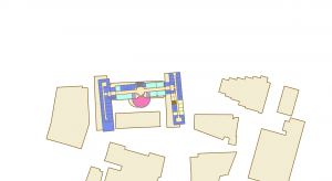
In Chapter 7, I learned how to edit, create, and delete polygon features, create and digitize point features, smooth features using cartography tools, utilize CAD drawings, and perform spatial adjustments of features. It was difficult to rotate and place them on the map, but I found it interesting to realize that bus stops we often see on maps are created in this way.
Chapter 8
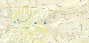
In Chapter 8, I learned to understand the geocoding process, perform geocoding using ZIP codes and street addresses, and I was surprised that approximate matches could be made even when the data did not match perfectly.
Chapter 9
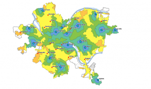
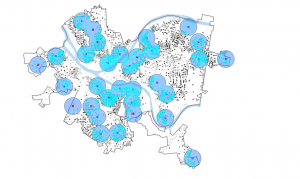
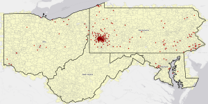
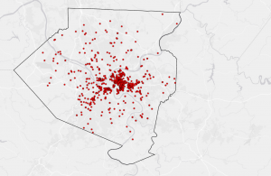
In Chapter 9, I learned about proximity analysis using buffers, the use of multiple-ring buffers, creating service areas to estimate a gravity model of demand based on distance to the nearest facility, optimal facility location using ArcGIS Network Analyst™, and exploring multidimensional data through cluster analysis, and I was able to learn this chapter smoothly.