Address Point: It is a representation of all certified addresses in Delaware county, it is maintained by the Delaware auditor’s GIS office. It is for 911 emergency response
Annexation: Boundaries of Delaware from 1853 to present, it is published monthly
Building Outline 2023: This dataset has the outlines of buildings in Delaware, it is updated on a as-needed basis
Condo: this records all the condominiums in Delaware
Delaware County E911 Data: This dataset is specifically for locating houses during 911 calls, this has a layer of reverse geocode to determine closest valid address
GPS: this dataset has marked all the GPS checkpoint marks, that provide coordinates for GPS systems
MSAG: Master street address guide, it has 28 political jurisdictions, like towns, cities and villages. It locates its boundaries within Delaware.
Municipality: This dataset has all municipalities of Delaware
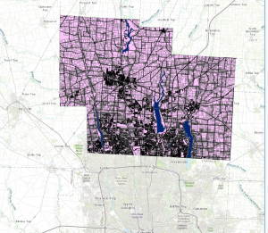
Parcel: This dataset has all the cadastral parcels
Precinct: This dataset has voting precincts of Delaware, it is maintained by under the direction of Delaware County Board of Elections
Recorded Document: data points represent recorded documents in Delaware. It was created to facilitate the process of locating miscellaneous documents
School District: It consists of all school districts in Delaware
Street Center-line: This dataset shows accurate representation of the road systems, public and private paved roads.
Subdivision: Contains subdivisions and condos
Survey: This dataset represents land surveys
Tax District: This data has tax districts in Delaware county, it is defined by the Delaware real estate office