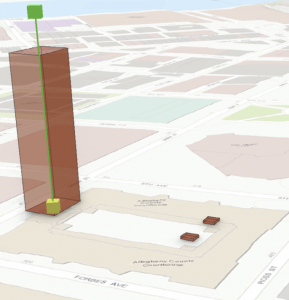
This week I finally got all of the kinks out of my program and finally was able to do real work again (thank you for your help again haha).
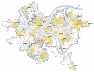
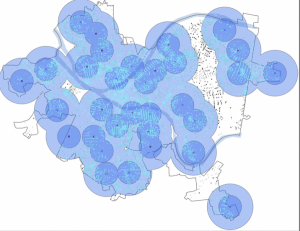
Chapter 9 focuses on spatial analysis techniques. The first tutorial covers buffer analysis, teaching me how to create simple and multiple-ring buffers to analyze proximity and influence zones around geographic features. Next, the chapter delves into service area analysis using the Network Analyst extension, where I learned to calculate accessible areas from a specific location based on time or distance, like determining the coverage of a service center or retail store. Another tutorial introduces gravity model calibration, where multiple-ring buffers are used to analyze how factors like population density or store location impact spatial interactions between locations. The chapter also includes a cluster analysis tutorial, which taught me about identifying spatial patterns and concentrations in data, such as crime hot spots or the distribution of resources. I overall learned essential spatial analysis skills, enabling them to apply these techniques to real-world problems in urban planning, environmental science, and other fields.
Chapter 10 focuses on analyzing and working with raster data. The first tutorial introduces map algebra, which is used to perform mathematical operations on raster data to analyze spatial patterns, such as calculating slopes, elevations, or vegetation indices. Next, the chapter covers reclassifying raster data, where I learned how to change the values of a raster layer based on specific criteria, such as reclassifying land cover types or soil classifications to simplify analysis. Another tutorial explores focal statistics and neighborhood analysis, teaching how to perform operations that analyze the values of cells in a raster based on the values of their neighboring cells. I found it cool that this application is useful in environmental studies like habitat suitability or pollution analysis. The chapter also includes tutorials on raster overlays, which demonstrate how to combine multiple raster layers to identify areas that meet certain conditions, such as finding regions that are both prone to flooding and have high population densities. Overall I feel more confident with raster data handling and analysis.
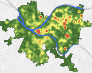
Chapter 11 focuses on working with vector data and performing advanced vector analysis. The chapter begins with a tutorial on overlay analysis. I was taught how to combine multiple vector layers to identify areas where features from different datasets intersect, such as determining regions with both high population density and environmentally sensitive areas. The next tutorial covers proximity analysis, where I figured out how to use tools like buffers and proximity analysis to identify features within a certain distance of each other. The chapter also explores intersecting and union operations, demonstrating how to combine different vector layers to create new layers that represent areas where features overlap or merge, essential for tasks like land use planning or conservation efforts. Additionally, I was introduced to spatial joins, a technique that enables the combination of attribute data from different layers based on their spatial relationship, like joining census data with geographic boundaries. Which I found particularly cool. Finally, the chapter covers density analysis. I was able to identify clusters or concentrations of features like the distribution of crime or disease outbreaks in certain urban areas using animation which I really liked!