Chapter 4:
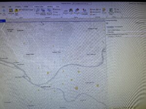
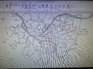
- 4.1– This was pretty straightforward and easy to understand. I learned how to create a new project and add necessary data.
- 4.2– This started off strong but then I couldn’t find how to turn off base maps. I struggled to find the information in the tracts portion of this section. Therefore I just continued on to the next portion. I didn’t understand this tutorial, I think I might have messed something up or didn’t understand the wordings.
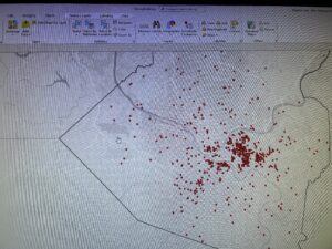
- 4.3– This was a good section and it went smoothly. I felt that I was able to get a grasp of the concepts and what was happening.
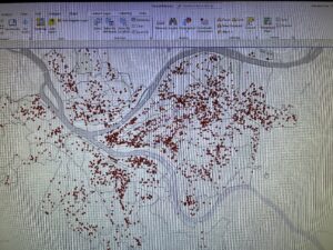
- 4.4– Short and easy. I was able to input the correct attributes and get the correct table.
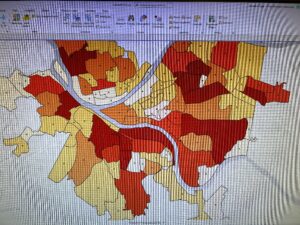
- 4.5– Easy to understand and straightforward. My map looked like it was supposed to and I feel confident in my ability to use this type of information.
- 4.6– This section was easy to understand and wasn’t too difficult.
Chapter 5:
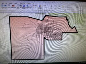
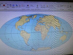
- 5.1– This was really cool to see the change from a flat map to a curved map of the world.
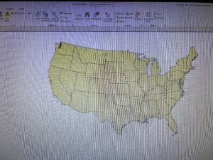
- 5.2– I understood this section. I don’t know if this was just the program but when I would zoom in some of the states would disappear then reappear.
- 5.3– the beginning was easy. However once I got to the California UTM I couldn’t see anything on my screen.
- 5.4– When I was working on the KML Data I got a notification at the Geoprocessing layering failed. Not sure what went wrong.
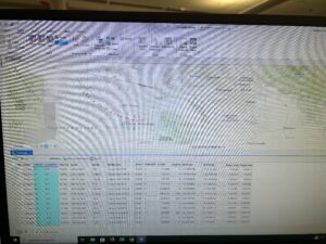
- 5.5– I struggled with the excel sheet. I couldn’t find the columns that were to be kept. For instance in Column JK it was (Estimate!!Female!!Workers 16 years and over!!..) whereas in the book it stated that Column JK Was (Male!!Estimate!!MEANS OF TRANSPORTATION TO WORK!!Bicycle). I couldn’t Finish this tutorial because I couldn’t get the data correct from the excel sheet resulting in me not being able to download and upload the file to ArcGIS Pro.
- 5.6– Straightforward and I understood the process of downloading shape files and inputting them into ArcGIS.
Chapter 6:
- 6.1– I couldn’t do the pairing dissolve portion with the fire battalion. I am not sure why but It wasn’t running. I understood the process though.
- 6.2– This wasn’t too difficult, however I did get stuck on the last portion. It wanted to pairwise cut but the correct file wasn’t on the dropdown menu therefore this process couldn’t be completed.
- 6.3– The process I am understanding but when I tried to merge the information for the waterparks, the system wouldn’t run the merge. I am not sure what I did wrong but I followed the previous directions.
- 6.4– This section wasn’t too bad. I understood the concepts and found this easy to add the information into the attribute table.
- 6.5– This section was straightforward and I understood what I was working on.
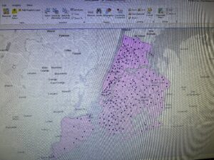
- 6.6– I liked this section and it was going smoothly until the very end where I couldn’t merge the Brooklyn information together properly.
- 6.7– Straightforward tutorial. I messed up with the running of the tool at the end but I figured out that I needed to select the file from the folder not just the dropdown menu.
Chapter 7:
- 7.1– This one was easy and straightforward. I understood what was going on.
- 7.2– This tutorial was going smoothly until I got to the part with the configure toolbar. I looked for it and couldn’t find it therefore I skipped that portion. After that the rest of the tutorial wasn’t too bad.
- 7.3– Quick and easy. However when it got to your turn section I couldn’t figure out how to save the file into the folder.
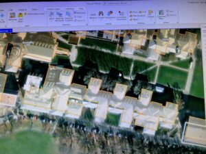
- 7.4– Pretty straightforward. However at the very end I couldn’t transform the building to the smaller version. The transform button didn’t show up.
Chapter 8:
- 8.1– I ran into an issue with the properties of the PARegion ZIP. However, after I smoothly got through the majority until getting to the rematching the addresses. I couldn’t figure out how to complete that because when I went through the steps it would just open the attribute table. Once I skipped over that step the rest of the tutorial went smoothly.
- 8.2– This was straightforward and I understood the concepts.
