Chapter 1
- A feature class is a building block for displaying geographic features on a map. Feature classes are vector data and have corresponding attributes for each feature.
- A Raster dataset is a major type of spatial data. A raster is an image made up of pixels- a common example is satellite imagery.
- A file geodatabase is a folder with the extension.gdb that stores feature classes, raster datasets, and other files.
- A project is a file with the extension.aprx that contains one or more maps and related items.
- This tutorial was quite easy to follow, as long as I didn’t try to read too many steps at a time. This can get easily overwhelming, especially since I have never been very good with computers. Surprisingly, the step I struggled most with was exporting, although I’m not quite sure what I did wrong on my first attempt.
- Seeing the map and layers visually helped me better understand how GIS can be used for analysis. While I still don’t fully understand the process for making these maps, it’s definitely helpful to be able to pull them up and look at each layer of data
- Overall, this tutorial was quite easy to follow. However, some of the technical terms, while sort of explained, felt unapproachable to someone with little technical experience/ knowledge.
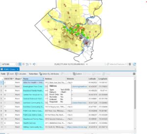
- In 1.4, I ran into an error and was unable to open the 3D map.
Chapter 2
2.1- I found that in this tutorial, some instructions were left out or incorrectly written, making it a bit difficult to follow along without help from another.However, the content itself wasn’t difficult.
2.2- This chapter was pretty easy to follow, although I have a habit of forgetting how to do something 30 seconds after being shown, so I managed to get through most of the tutorial without having the labels applied. Anyways, I figured it out in the end
2.3- This tutorial was a lot easier than I thought it would be initially, and only took a few minutes to do. However, I think some things in the textbook could be worded better.
2.4- I received an error message stating that I did not have a valid data source on step two and was unable to complete the tutorial.
2.5-This one was super easy and I was able to complete it in a few minutes. I’m beginning to have a better grasp on using the program.
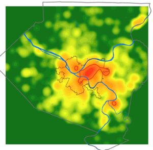
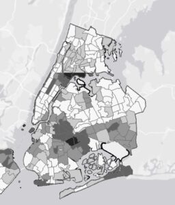
2.6- This one was actually a lot of fun. I’ve grown more comfortable with the software, and being able to see the various layers at ease was really interesting.
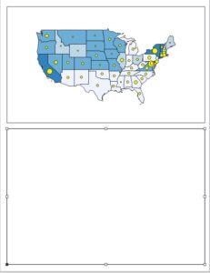
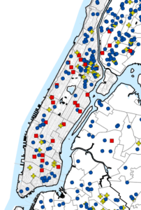
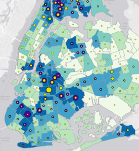
2.7- This map was very interesting to analyze, and the first where I’ve really focused on the patterns being revealed.
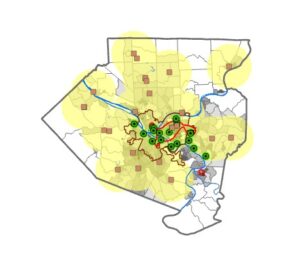
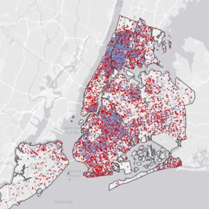
2.8 This one was very fun to complete, and it was really cool seeing immediate results from my work.
Chapter 3
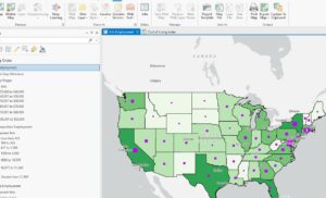
3.1- I followed the instructions, but for some reason, the Arts Employment map would not load in. I am unsure of what caused this error.
3.2- For some reason, the sharing feature was simply not working. The buttons it wanted me to press were fully grayed out, even though I followed all prior instructions. I am unsure if this is my fault, or an error in the program.
3.3- This tutorial just fully does not exist in my files, and I am unsure as to why.
3.4- I was able to successfully log into ArcGis online, but the sharing feature is still not working for me. Am unsure as to why, but I was unable to complete this tutorial.
Overall, this chapter was full of errors and I was unable to complete most of it.