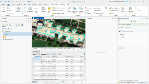
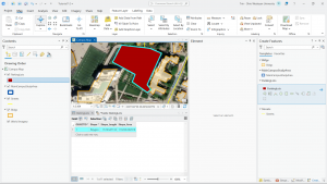
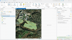
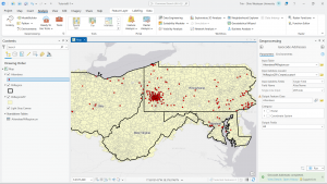
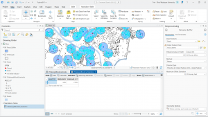
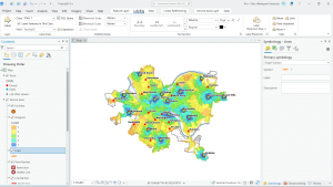
These chapters dive a bit further into the different kinds of analysis that can be done using GIS programs. Chapter 7 teaches us the formatting of different polygon overlays that can be used in an informational GIS analysis. These formatting tools include creating, deleting, editing, and reframing different polygons over satellite images of buildings. Chapter 8 goes over data and data points a little more in-depth than before. With this, we match data points to their accurate match on the map using ZIP codes and confirm the program’s success in matching these points correctly. I found chapter 8 particularly useful for the future, as matching data points is a crucial part of GIS mapping and creating an accurate model for your intended purposes. Chapter 9 was also rather helpful in figuring out different ways to categorize zones of coverage. This chapter covered a variety of ways that zoning coverage can be done and provided very useful steps in completing the chapter. Overall, I think I am starting to get the hang of the ArcGIS program and am fairly confident I will be able to implement such programs in future work. I am eager to implement a GIS map from scratch using my own data inputs rather than provided files as well.