Chapter 4:
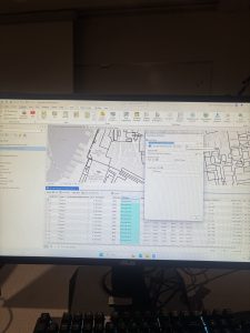
This chapter on spatial databases was definitely more challenging than the earlier ones, but it ended up being the most useful so far since I can actually see myself using this stuff to import data and analyze certain trends in real situations. Learning about attribute queries and how to link tabular data to map features was really interesting, especially since I didn’t realize before that SQL coding could be used in GIS to work with attribute values. The crime mapping exercise was probably my favorite part because it made me think about how law enforcement and public health officials could actually use this to identify problem areas and figure out where interventions are needed most. I had some issues in this chapter with finding certain tools but overall it wasn’t too difficult
Chapter 5:
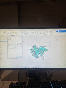
This chapter provided valuable insight into map projections and how different projection systems minimize distortions depending on the scale and region being mapped, which helped me understand why we use specific projections for US based versus global datasets. Learning to work with coordinate data from GPS units and external databases to create point feature classes was particularly interesting to me. The chapter’s explanation of spatial data sources and coordinate systems was a bit confusing but not too bad, and I can see how these skills will be directly applicable to the final project.
Chapter 6:
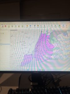
This chapter introduced me to geoprocessing techniques for manipulating spatial data, including tools like Pairwise Dissolve for aggregating block group attributes to the neighborhood level and Pairwise Intersect for summarizing feature class data into grouped datasets. What really stood out was how these various tools work together in practice and build off each other. I’ve noticed I’m getting a little more comfortable navigating the software overall as I can now quickly identify which tools I need and where to find them which I wasn’t as good at in past chapters. While I still encountered some technical issues this week, they were significantly fewer than before, and I’m feeling more confident applying my statistics and mapping skills as I work toward the final project.