Chapter 7:
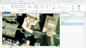
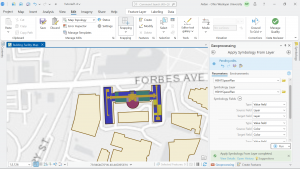
Chapter 7 went over mostly edit, creating, deleting, and modifying polygon features. Cartography tools were used to smooth the edges, points were created for easier access to edit these polygons, and this chapter had us work with CAD drawings to insert them into the map and edit them.
Chapter 8:
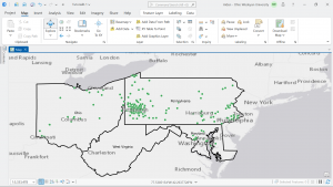
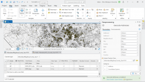
Chapter 8 dealt a lot with geocoding tools and the process. We learnt about how geocoding can select and pinpoint specific attributes and show them. We did this with zip codes and addresses. It then went over what happens if there are non-matches and how to address them.
Chapter 9:
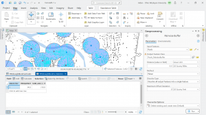
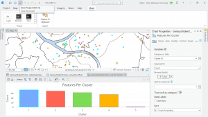
Chapter 9 went over using buffers for spatial analysis and proximity analysis. We learned how to do multiple ring buffers and did a gravity model of demand versus distance from a nearby facility, and then made a scatterplot of it. We then did a cluster analysis of various crimes and explored its data.